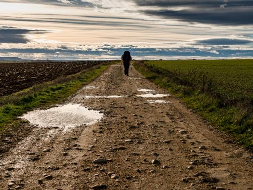
Les jours sont de nouveau plus longs et plus chauds. Il est temps d’enfiler les chaussures de randonnée et de partir. Mais où trouver les itinéraires les plus populaires ?
L’Europe se prête particulièrement bien à la marche. Le long de la côte, à travers les montagnes ou les îles, qu’elles soient longues ou courtes, éprouvantes ou faciles : le choix est vaste. Pour savoir quels étaient les meilleurs sentiers de randonnée d’Europe, OnBuy Treadmills s’est basé sur les avis de Tripadvisor (entre autres), mais aussi Instagram.
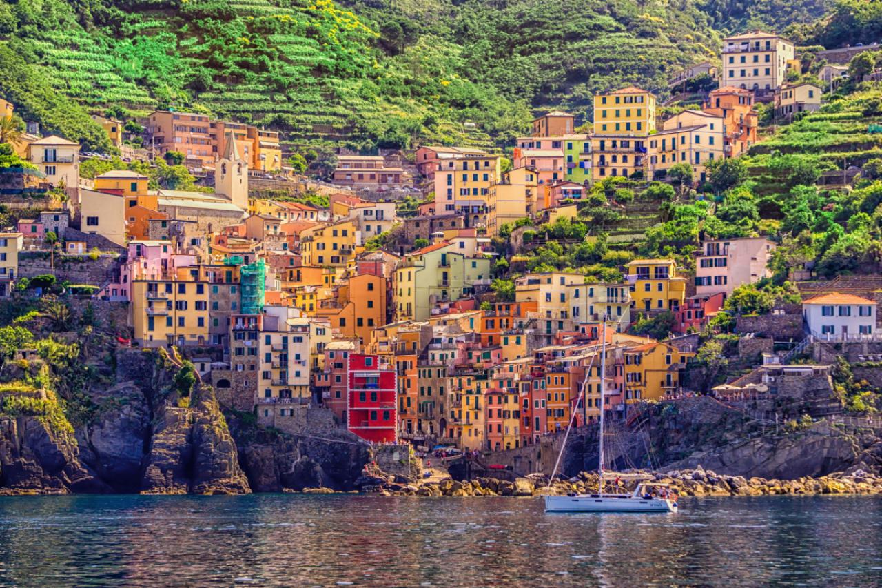
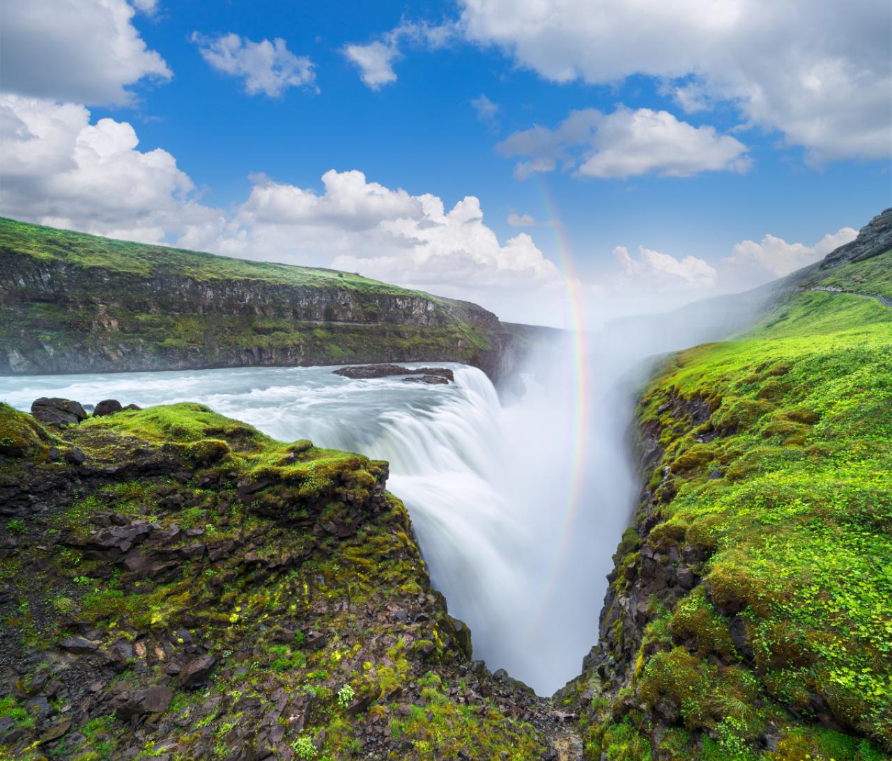
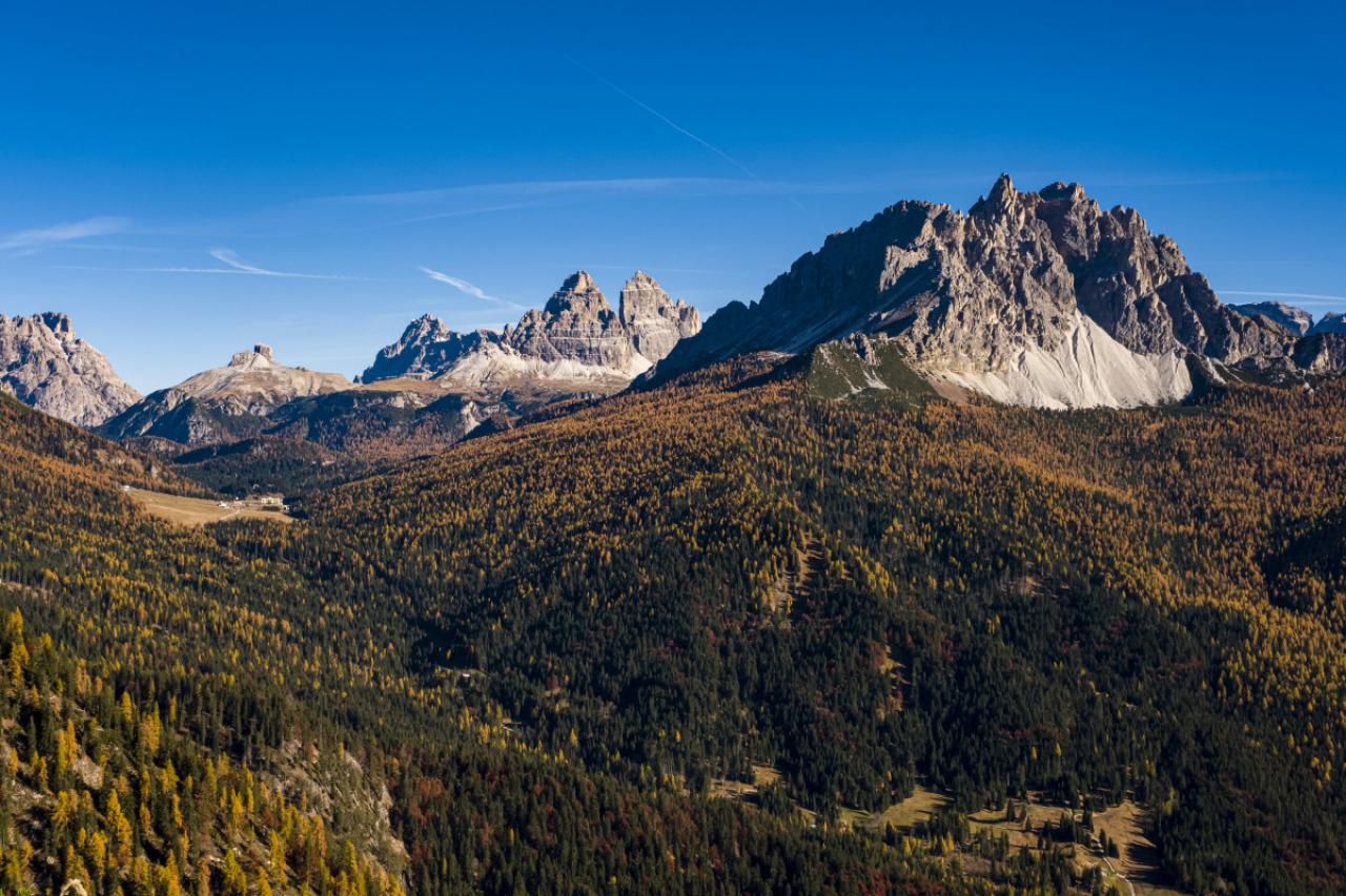
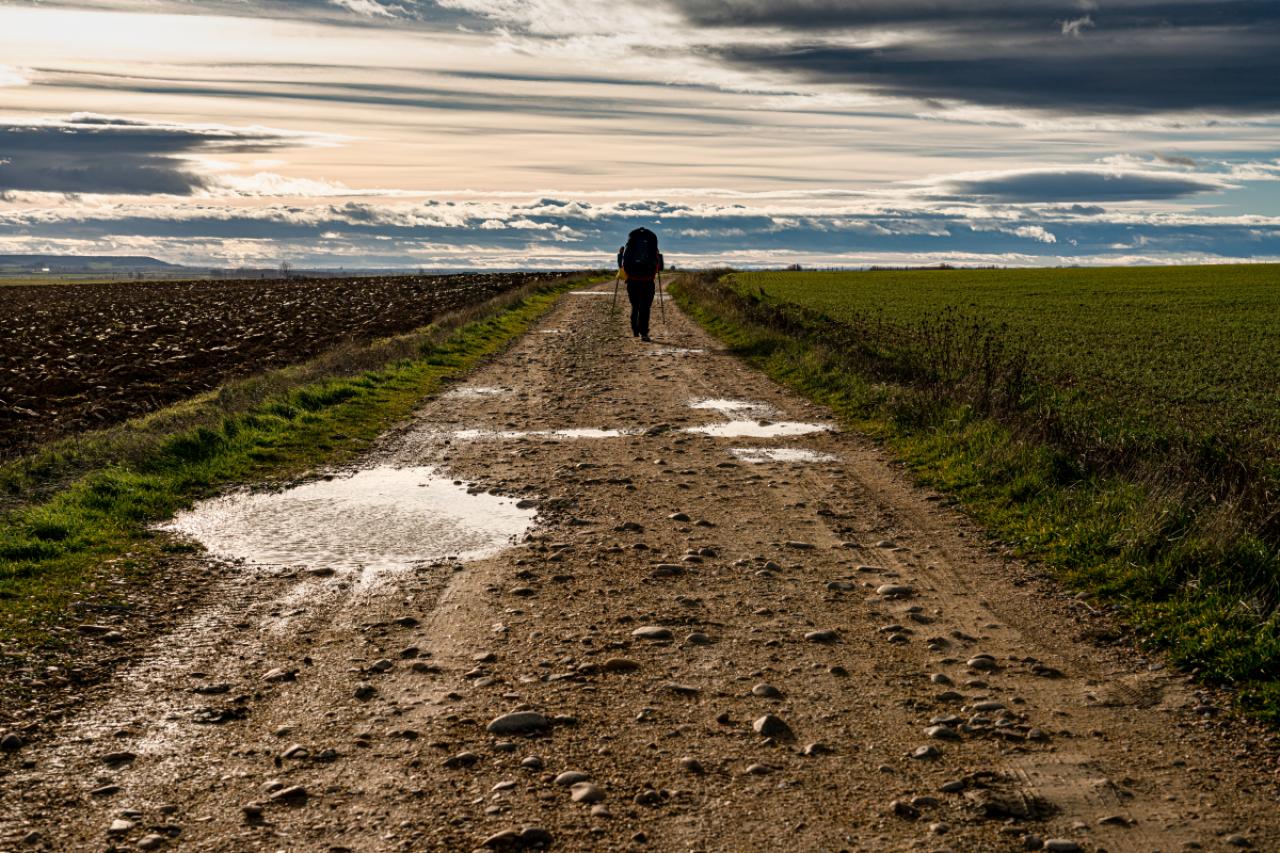
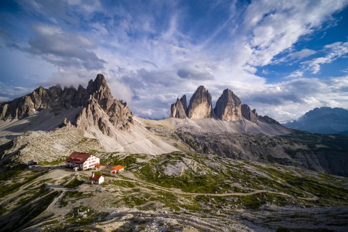
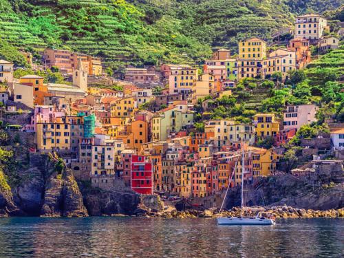
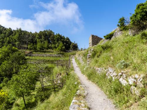
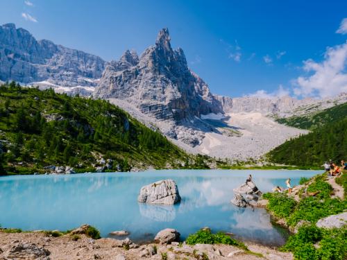
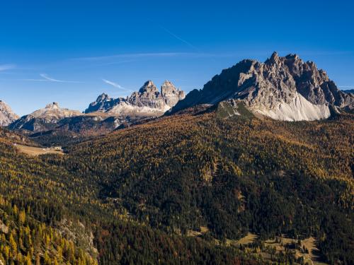
Le Sentiero Azzurro, long de 12 kilomètres, dans les Cinque Terre, en Italie, arrive en tête. Le pèlerinage de 767 kilomètres du Chemin de Saint Jacques de Compostelle, en France, est également très populaire auprès des marcheurs et arrive en second. La Cime di Lavaredo, qui longe les magnifiques montagnes Drei Zinnen dans le nord de l’Italie, complète le podium.
Découvrez le classement des itinéraires de randonnée les plus populaires ci-dessous
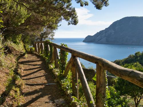
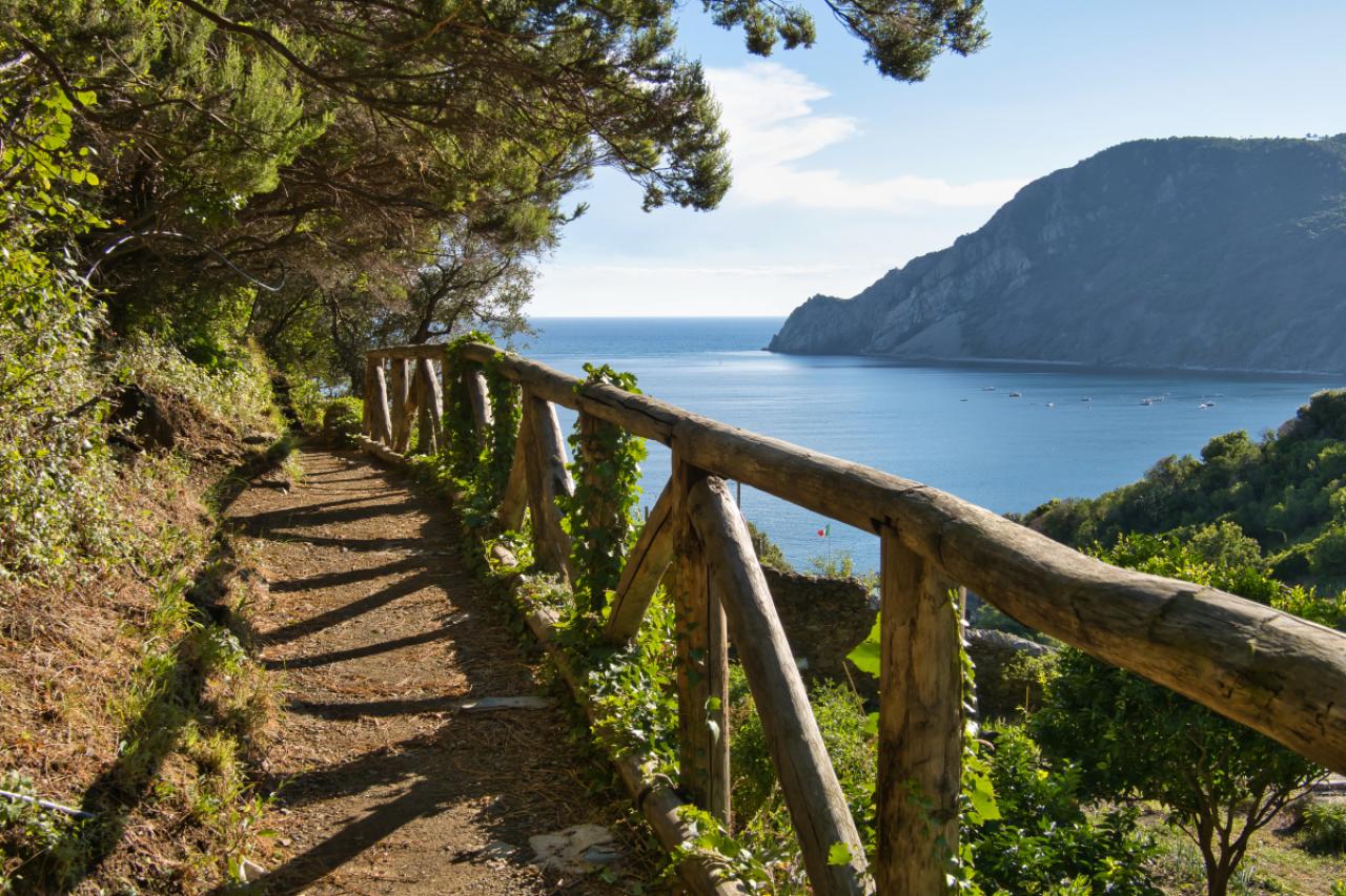
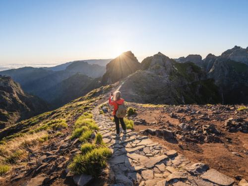
1/77
Cinque Terre, La Spezia, Ligurië
2/77
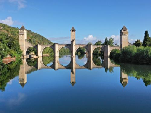
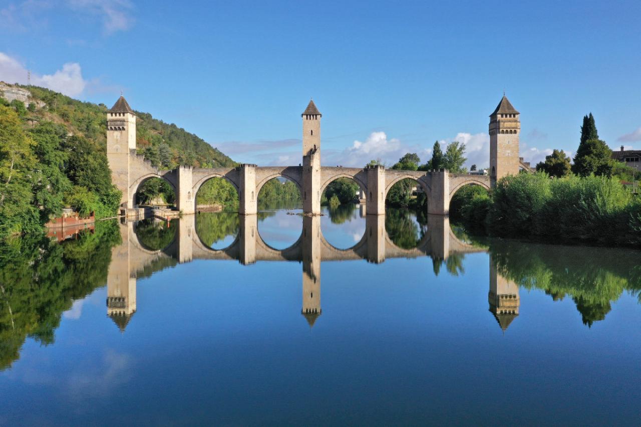
3/77
Cahors (south of France): The Valentre Bridge across the Lot river. Listed as a National Historic Landmark (French ‘Monument historique’) and UNESCO World Heritage Site. Medieval fortified stone arch bridge, stopping-off point of the Way of St. James (Santiago de Compostella), pilgrimage route via Podiensis or route du Puy, hiking trail GR65. (Photo by: Morel J/Andia/Universal Images Group via Getty Images)
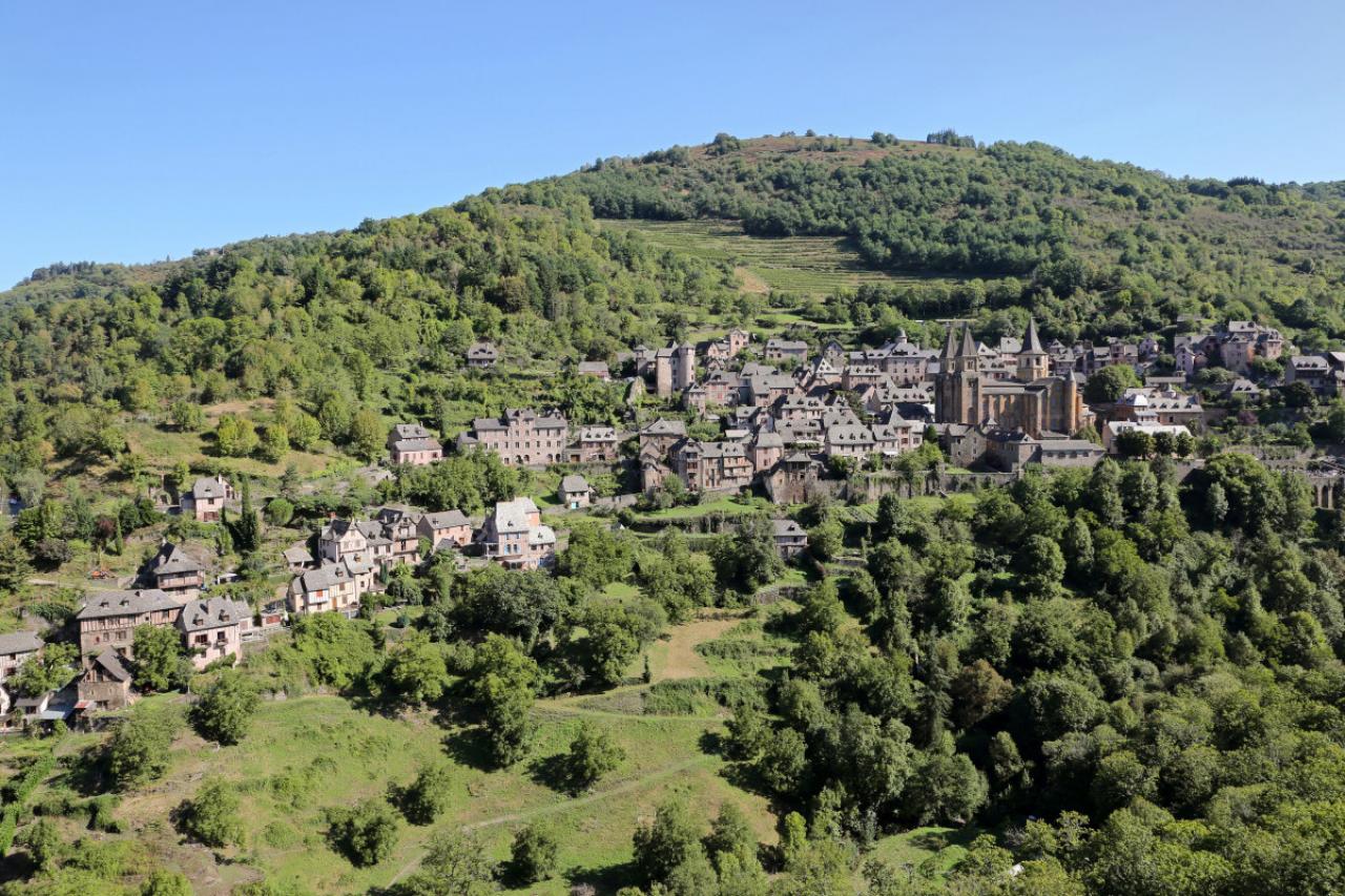
4/77
The village of Conques (south of France), in the Aveyron department, on the Way of St James (Santiago de Compostela), voie du Puy or via Podiensis pilgrimage route, France. The Abbey Church of Sainte-Foy is registered as a UNESCO World Heritage Site, Route of Santiago de Compostela in France. (Photo by: Morel J/Andia/Universal Images Group via Getty Images)
5/77
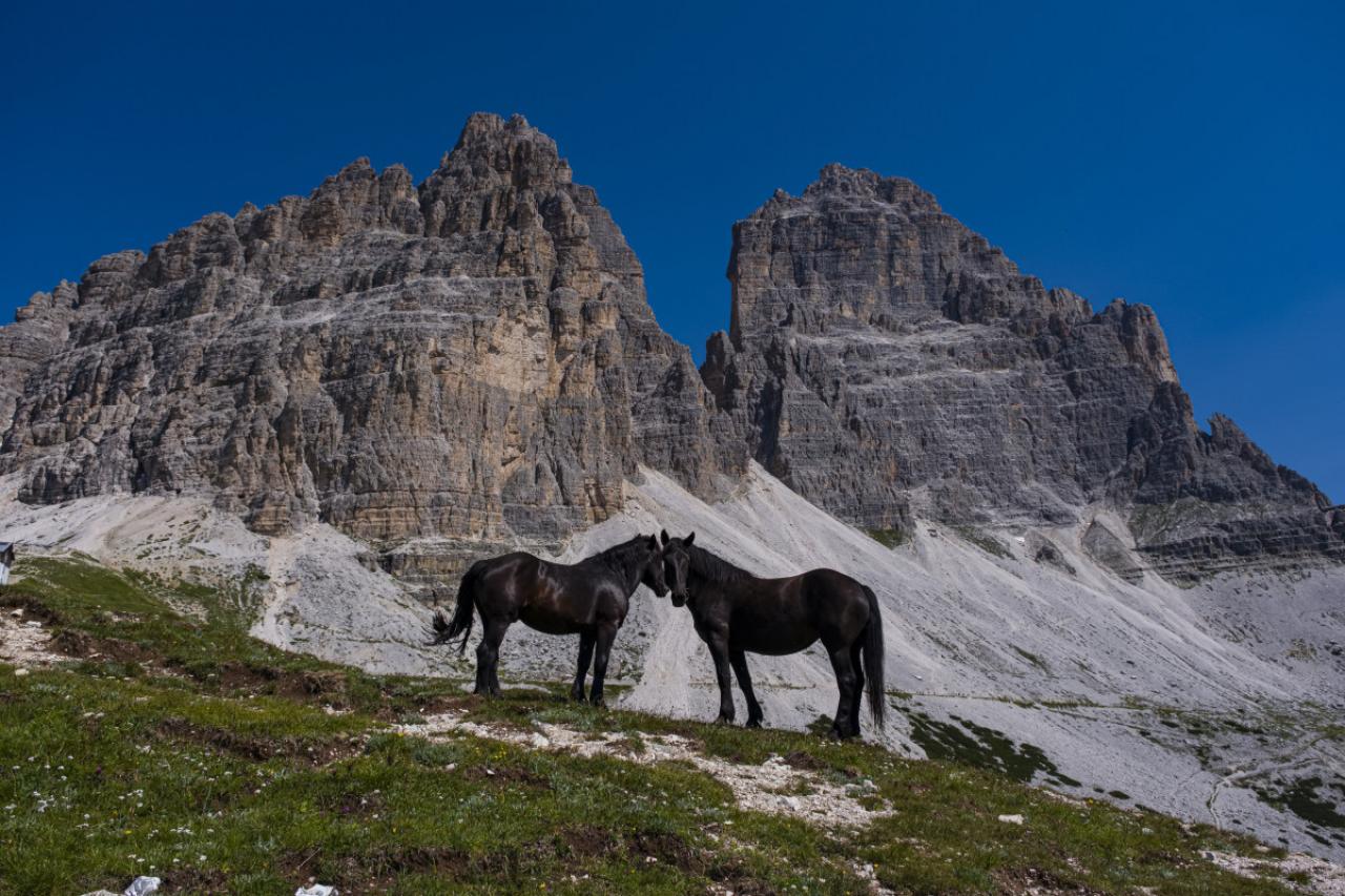
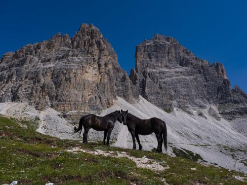
AURONZO DI CADORE, VENETO, ITALY – 2021/07/21: Two black horses are standing on a rocky hill, the south faces of the mountain group Tre Cime di Lavaredo in the distance. (Photo by Frank Bienewald/LightRocket via Getty Images)
6/77
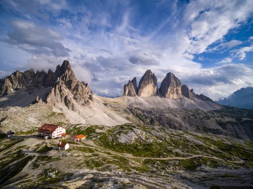
AURONZO DI CADORE, VENETO, ITALY – 2020/07/22: Panoramic aerial view on the mountain group Tre Cime di Lavaredo, with the mountain hut Dreizinnenhütte, Rifugio Locatelli and a small chapel. (Photo by Frank Bienewald/LightRocket via Getty Images)
© Getty
7/77
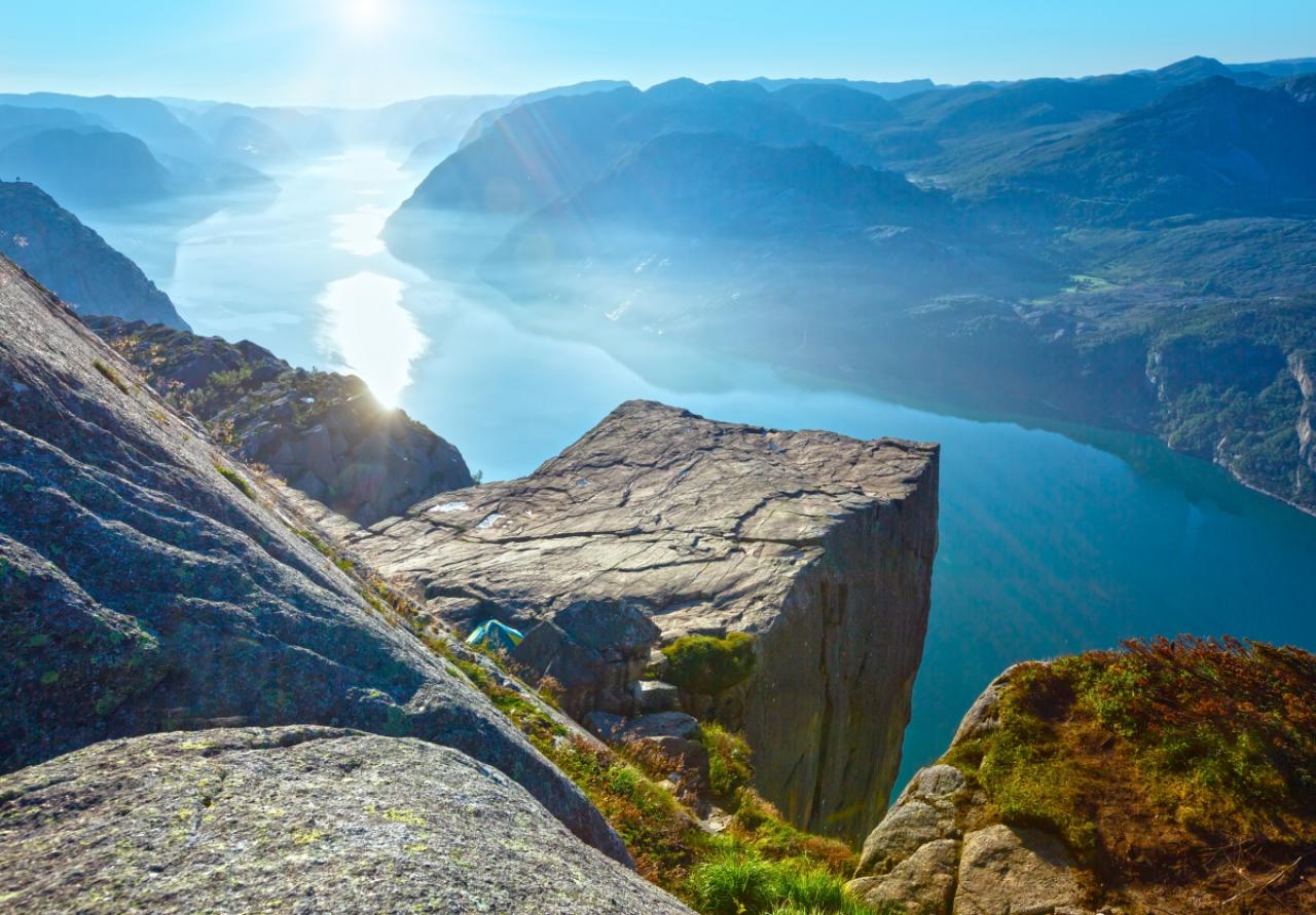
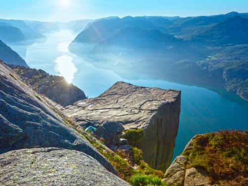
Preikestolen massive cliff (Norway, Lysefjorden summer morning view)
8/77
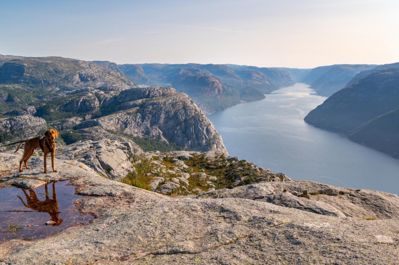
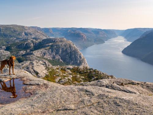
Weimaraner dog looking at view near Preikestolen or Prekestolen, also known by the English translations of Preacher’s Pulpit or Pulpit Rock, is a famous tourist attraction in Forsand, Ryfylke, Norway
9/77
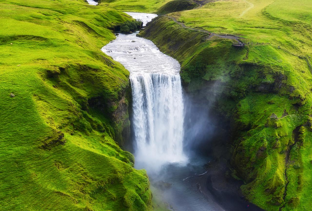
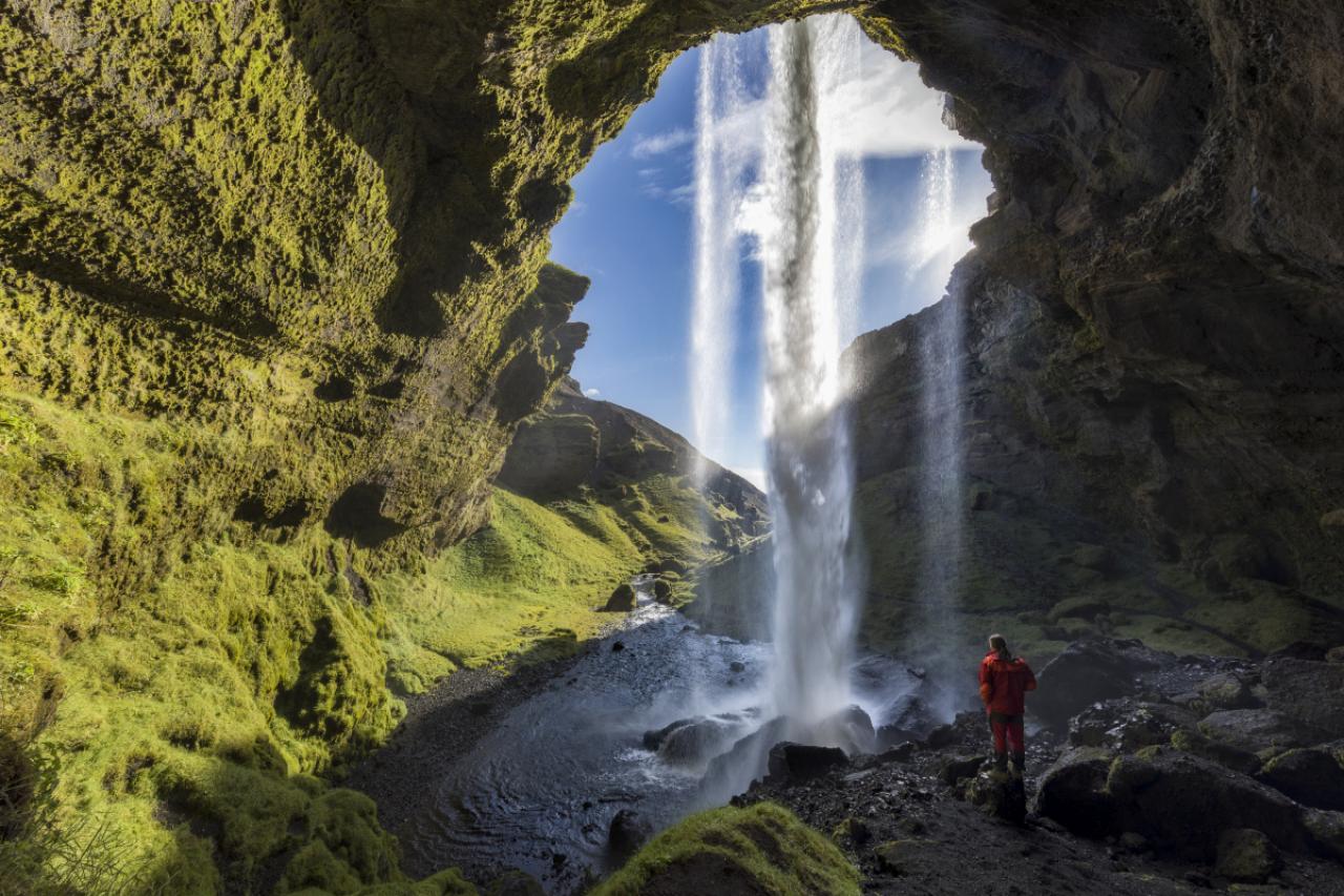
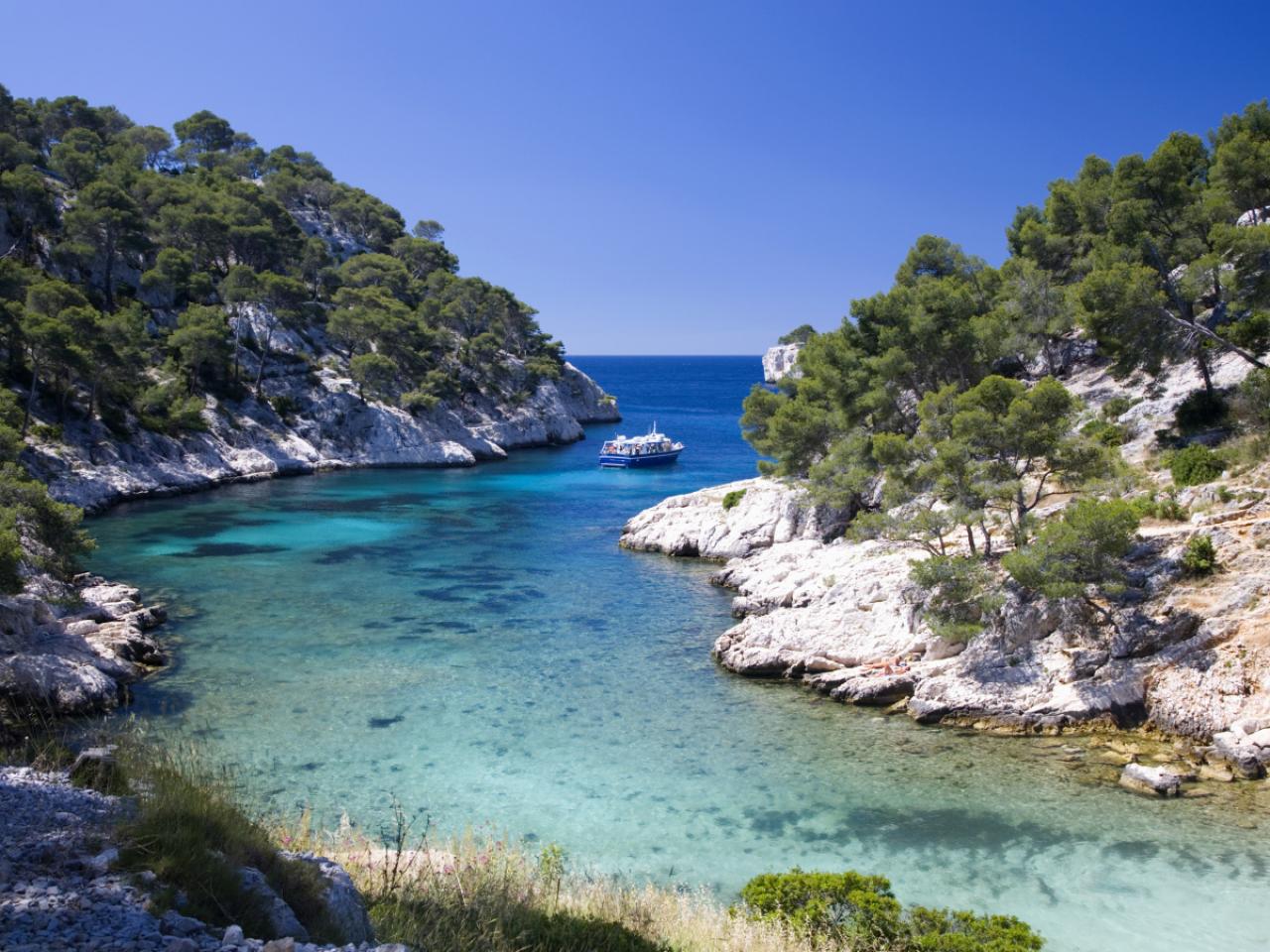
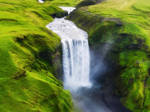
Aerial view on the Skogafoss waterfall in Iceland. Landscape from air. Famous place in Iceland. Travel – image
10/77
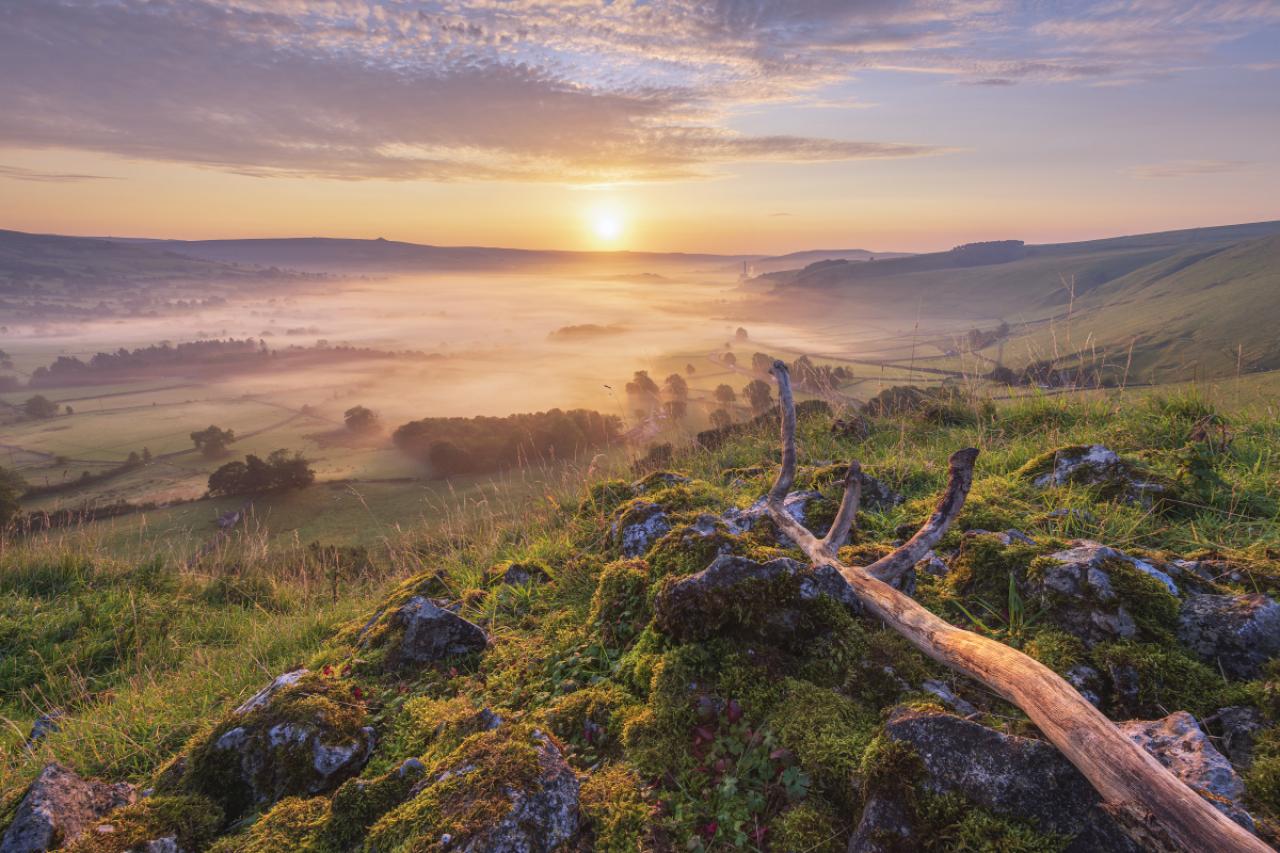
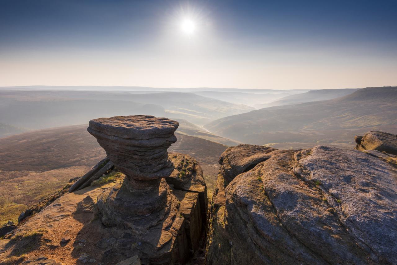
Blue Sky, Famous Place, Waterfall, Iceland
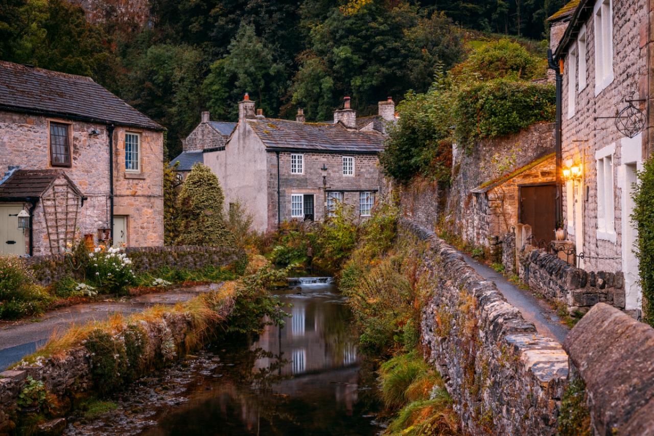
11/77
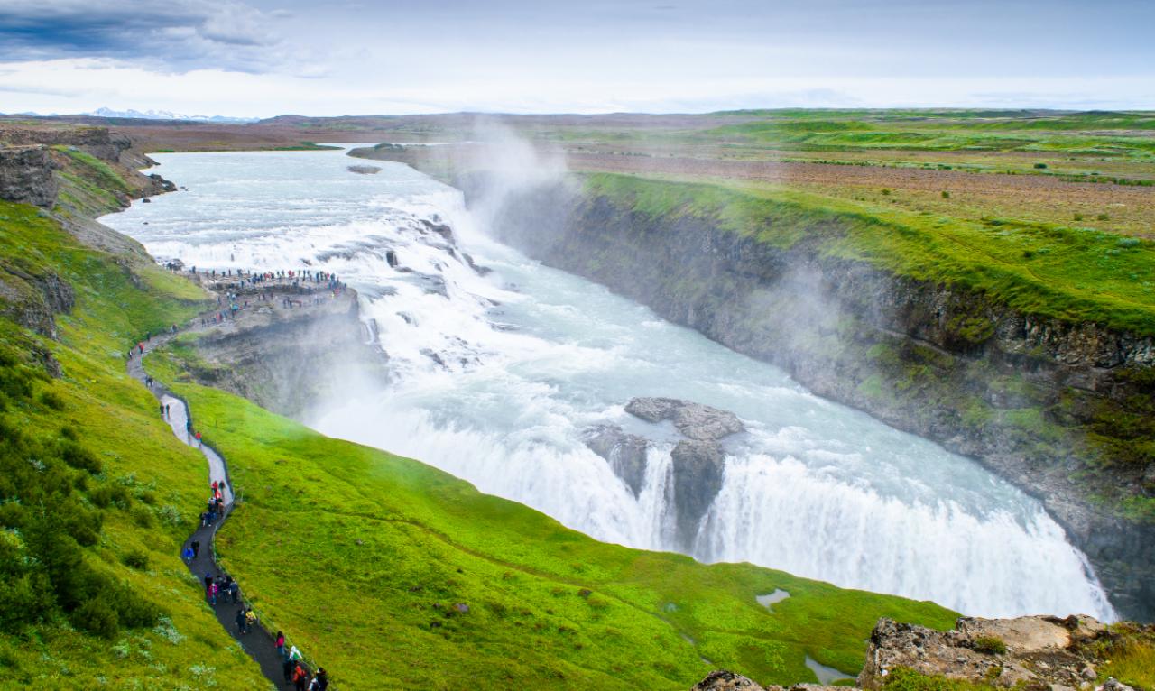
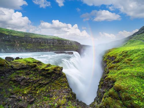
Gullfoss waterfall in the canyon of the mountains. Tourist Attraction Iceland. Beauty in nature
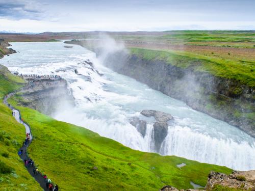
12/77
Iconic view of the Gullfoss waterfall in Iceland
13/77
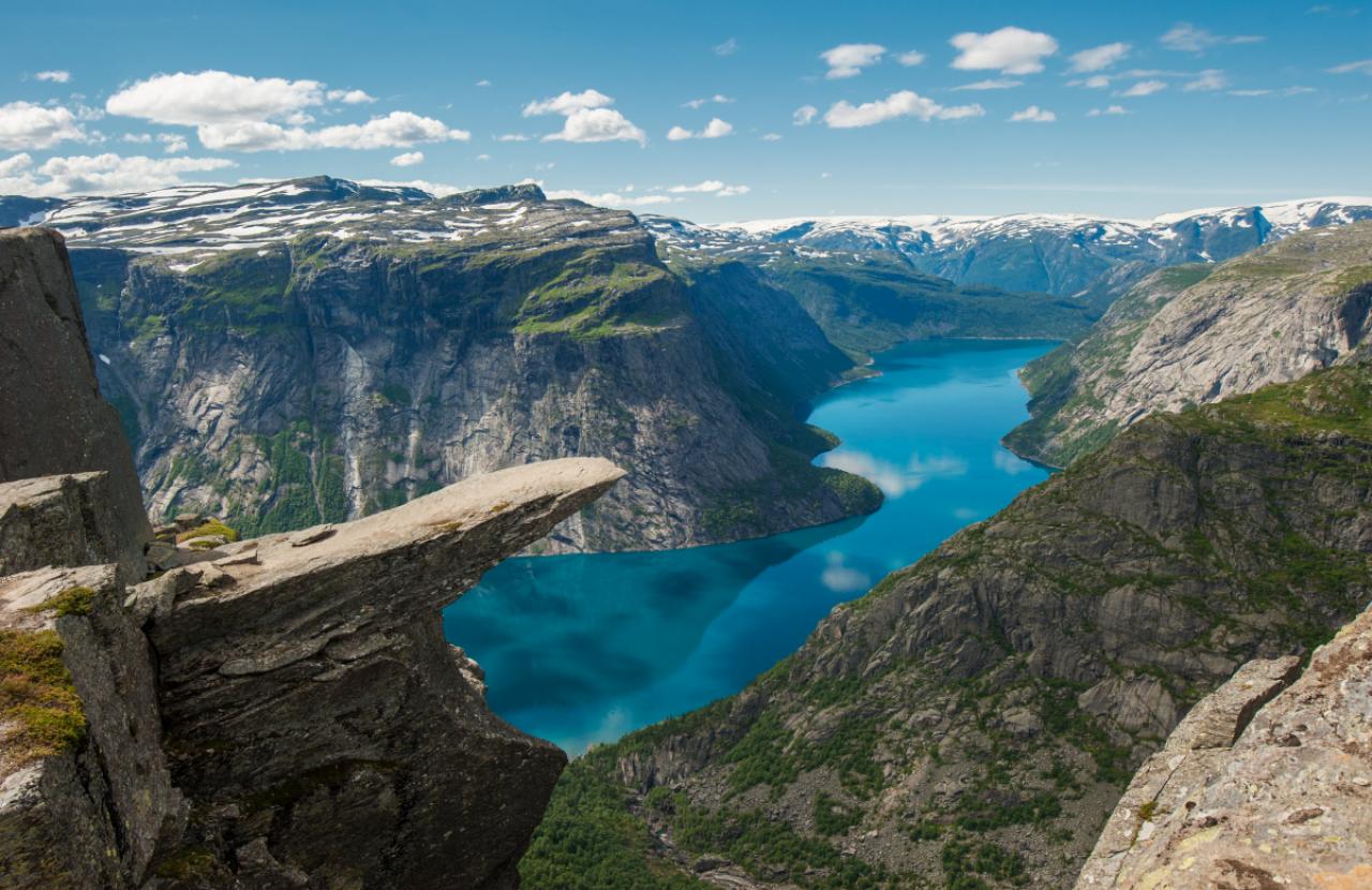
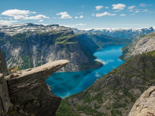
« Trolltunga, Troll’s tongue rock above lake Ringedalsvatnet, Norway »
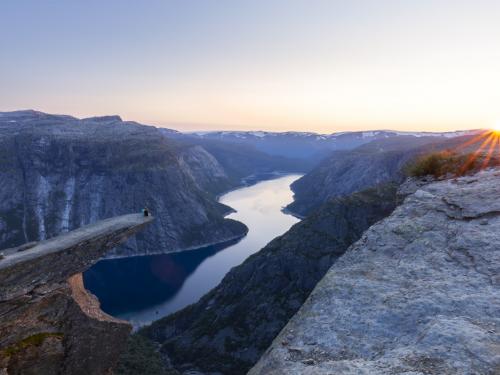
14/77
Sunset on the Norwegian fjord Trolltunga. Couple hiker sitting on a cliff above a lake, Trolltunga, Norway Concept of adventure, freedom and extreme lifestyle
15/77
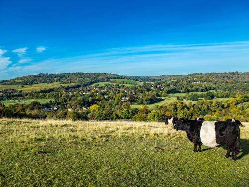
Traditional English field cows farm lovely sunny day Surrey England
16/77
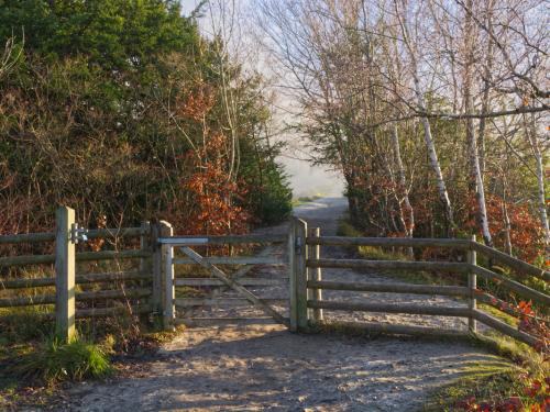
Path and gate on Box Hill at Dorking, Surrey, England
17/77
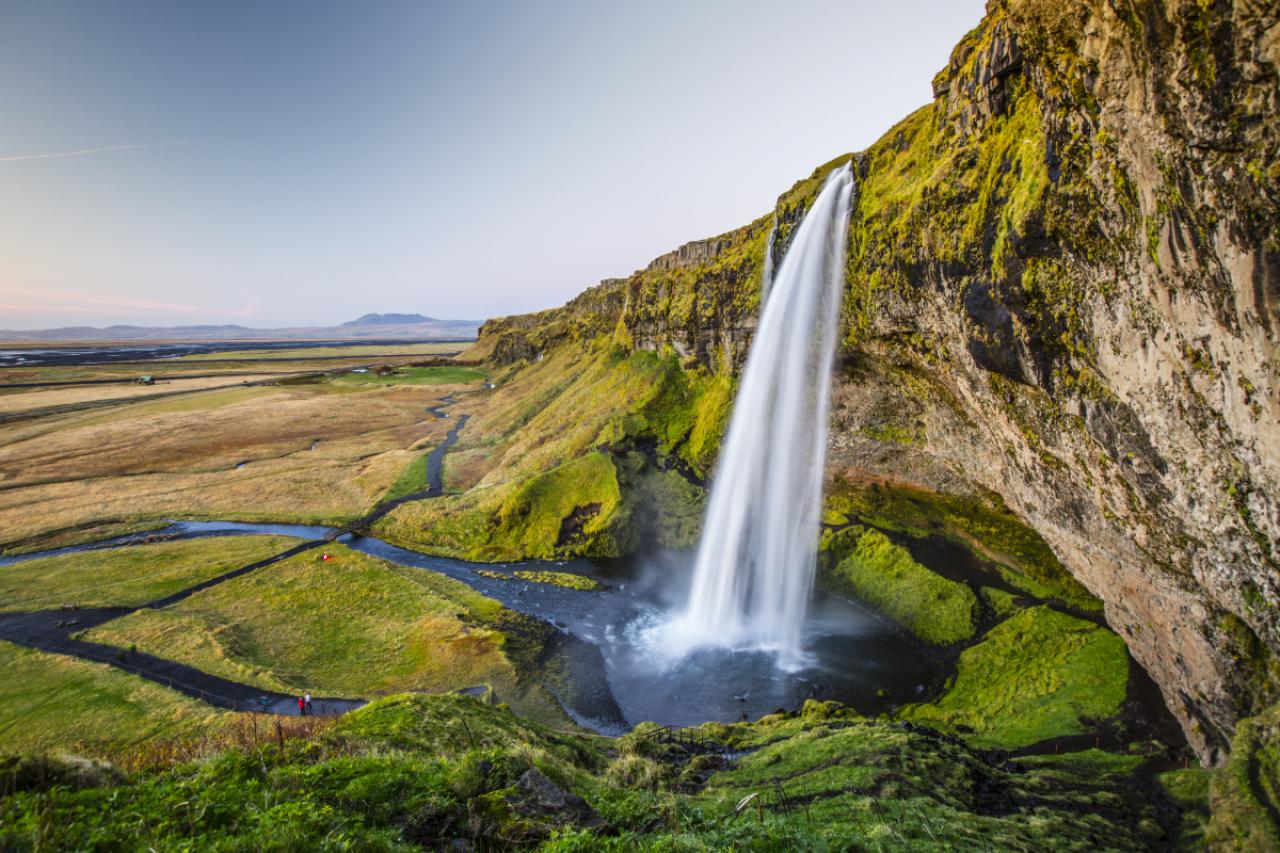
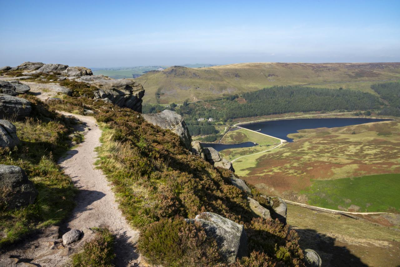
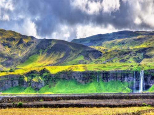
Panorama of volcanic massif Eyjafjoll with Seljalandsfoss and Gljufrafoss waterfalls – South Iceland
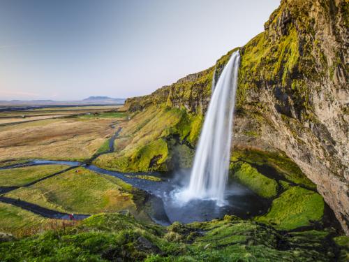
18/77
Beautiful Seljalandsfoss waterfall at dusk. Located in the south of Iceland
19/77
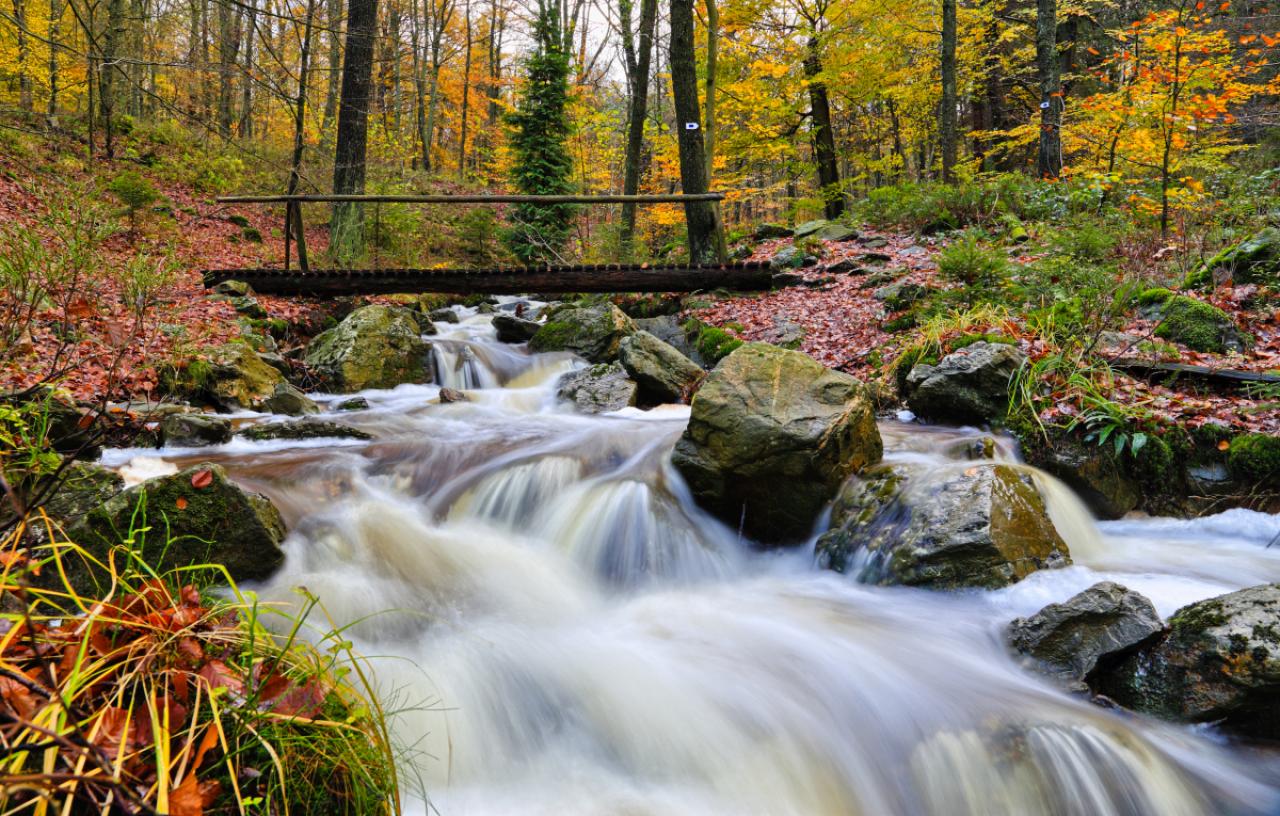
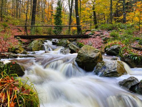
Waterfall and a wooden bridge in the forest in Solwaster, Belgium. Autumn colors, long exposure, nobody
20/77
La Statte (creek) at Solwaster (Belgium)
21/77
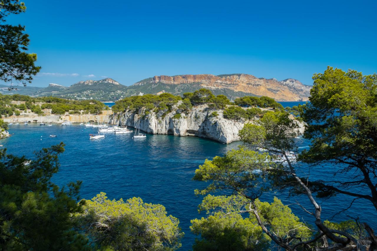
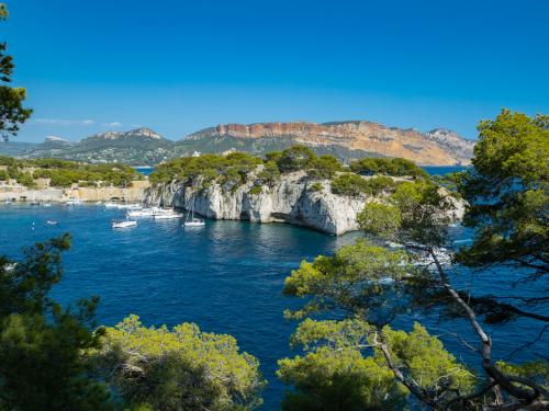
The Calanques massif, which is located between Marseille and Cassis. Calanque de Port Miou near Cassis Fishing Village. Calanques National Park. Provence, French Riviera, France, Europe

22/77
The Calanques are a series of deep, steep-sided inlets of the Mediterranean lying between Marseille and Cassis in the Bouches-du-Rhone departement. Accessible only by boat or on foot, they are popular with walkers, swimmers and sailing enthusiasts.
23/77
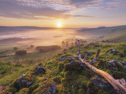
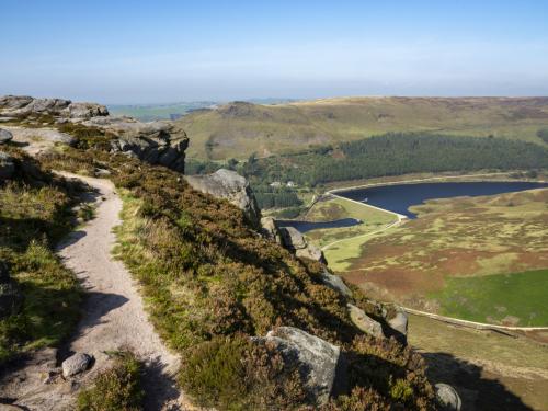
Hope valley on a beautiful misty morning in September 2020 with gritstone rocks and old tree branch in the foreground, Taken at sunrise in the Derbyshire Peak District National park. Castleton, Hope Valley, UK.
24/77
Iconic shot of Castleton, Peak District, Derbyshire, England. Photograph taken early morning on the bridge over Peakshole Water
25/77
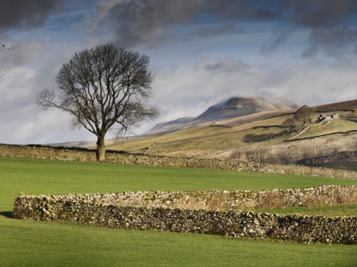
26/77
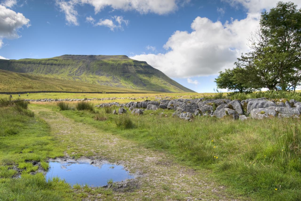
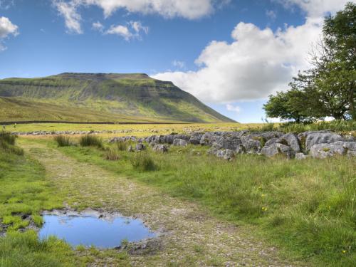
View over the Yorkshire Dales landscape from the Pen-Y-Ghent between Halton Gill and Horton in Ribblesdale, North Yorkshire, England, UK
27/77
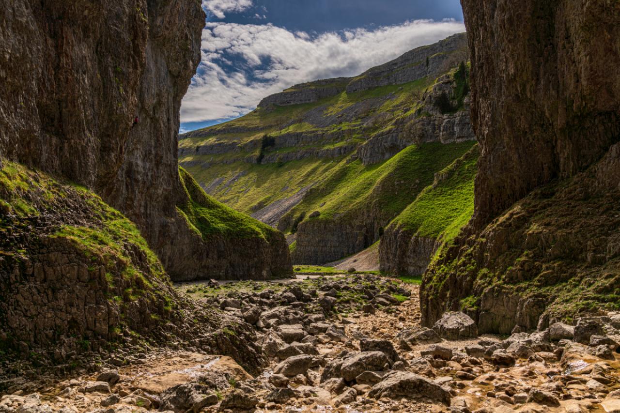
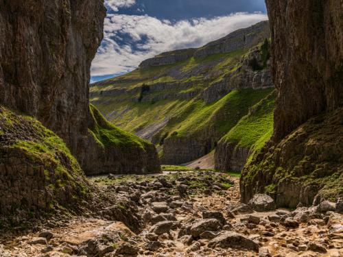
Yorkshire Dales landscape at the Gordale Scar near Malham, North Yorkshire, England, UK
28/77
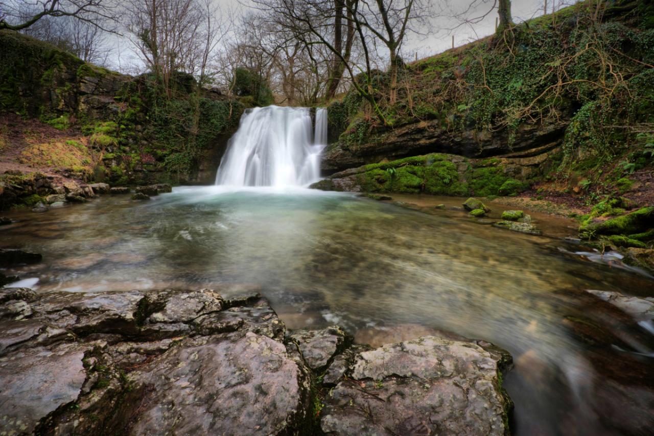
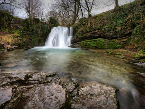
Janet’s Foss is a small waterfall in the vicinity of the village of Malham in the Yorkshire Dales National Park Yorkshire. It carries Gordale Beck, a river, over a limestone outcrop topped by tufa into a deep plunge pool below. The pool was traditionally used for sheep dipping, an event which took on a carnival air and drew the village inhabitants for the social occasion.
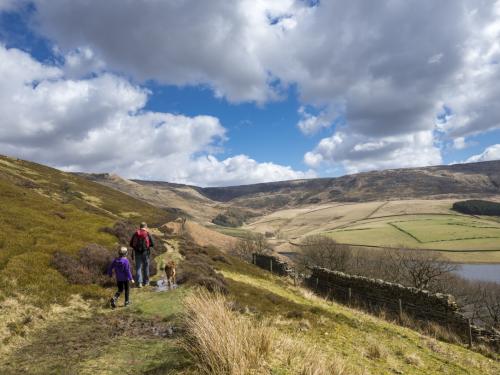
29/77
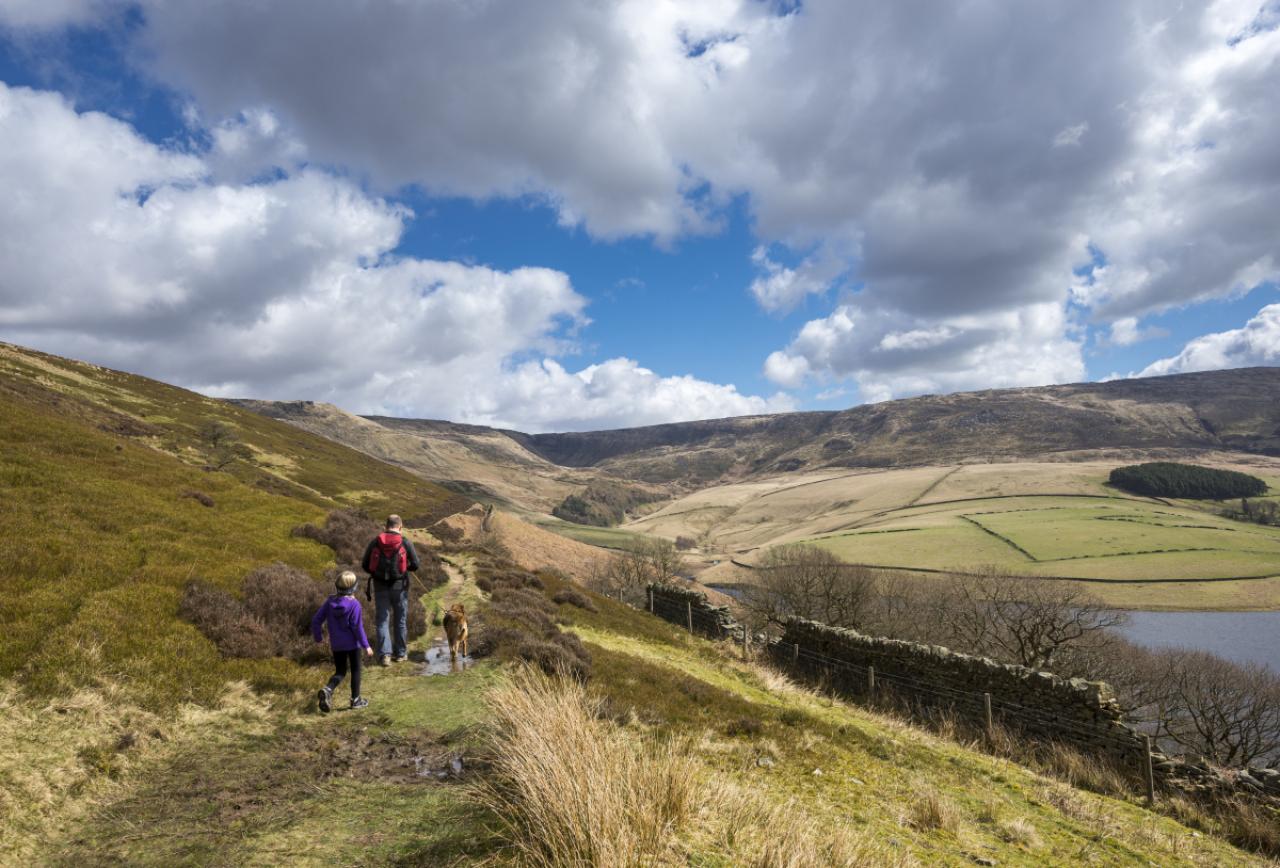
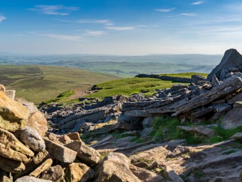
A man and girl walk their dog on a rough track above Kinder reservoir near Hayfield in the Peak District, Derbyshire. A sunny spring day with views to Kinder Scout beneath a sky of fluffy clouds.
30/77
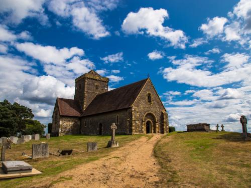
Rocks on the North side of Kinder Scout mountain with a stunning sunrise. English Peak District National park. UK.
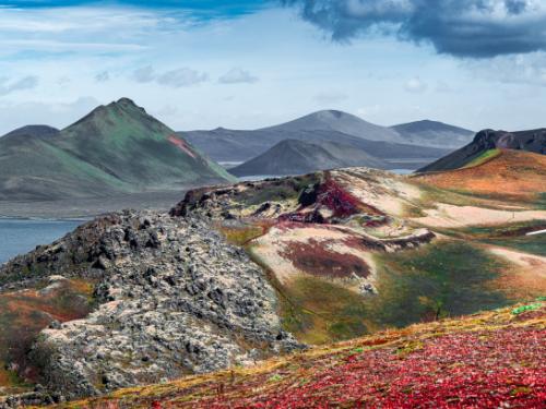
31/77
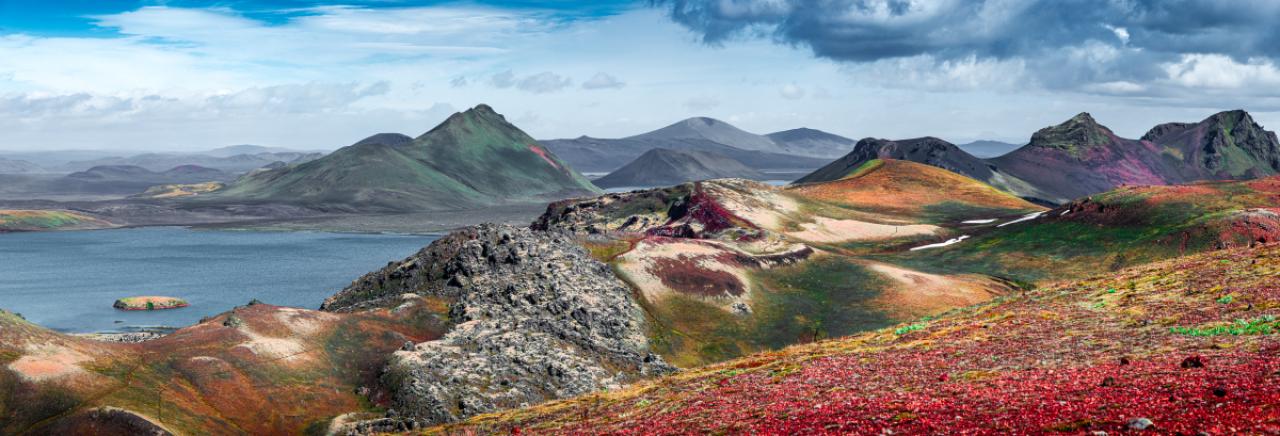
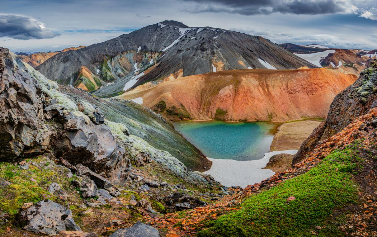
Panoramic landscape view of colorful rainbow volcanic Landmannalaugar mountains, volcanoes, lava fields, crater, water streams and lagoons at blue sky with clouds, Iceland, summer
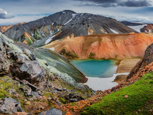
32/77
Panoramic view of colorful rhyolite volcanic mountains Landmannalaugar as pure wilderness in Iceland and a hidden highland lake, Iceland, summer time
33/77
34/77
35/77
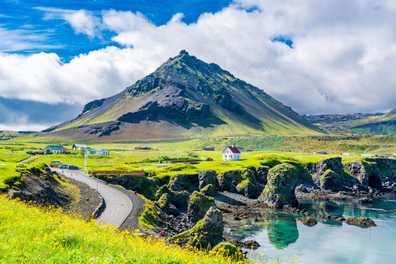
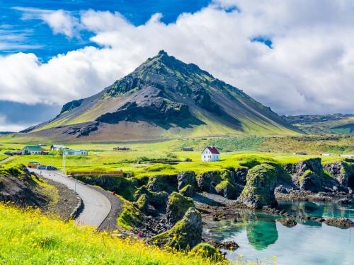
View of the basalt rocks formation on the coastline with the beautiful houses and the Mountain Stapafell in the background at Arnarstapi Village in summer sunny day in Iceland
36/77
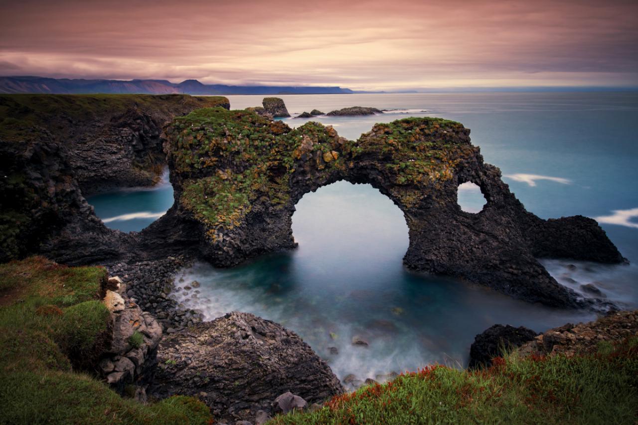
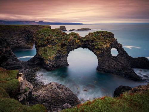
Long exposure of Gatklettur arch rock near Hellnar ,Snaefellsnes Peninsula ,Iceland.
37/77
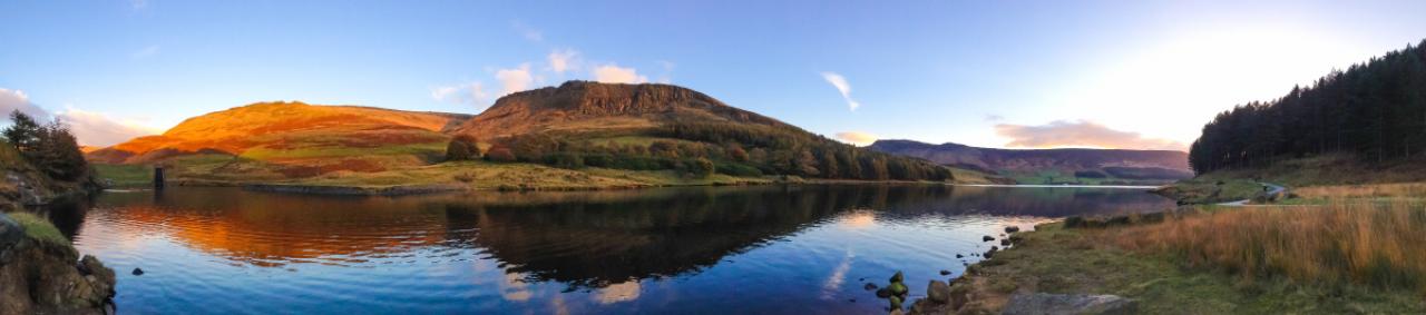
A panorama of Dove Stone Reservoir taken using the new panorama feature and an iPhone 5. Taken just before sunset, the warm light of the sun bathes the surrounding hills in a golden glow. The sky is a deep blue with orange clouds which are both reflected in the water of the reservoir.
38/77
Gritstone outcrops in the hills above Dove Stone and Yeoman Hey reservoirs in the north of the Peak District national park, England.
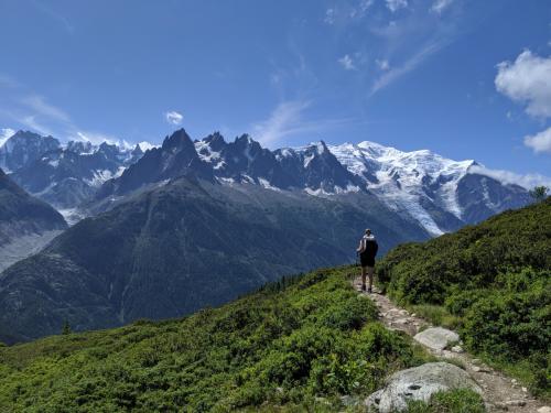
39/77
A hiker walking on a path during the famous trek Tour du Mont Blanc. Beautiful Alpine view on snowy mountains with blue sky on a sunny morning
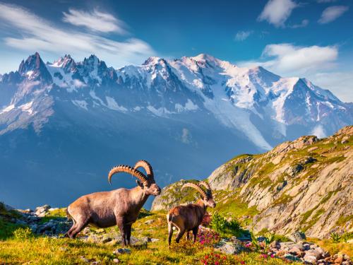
40/77
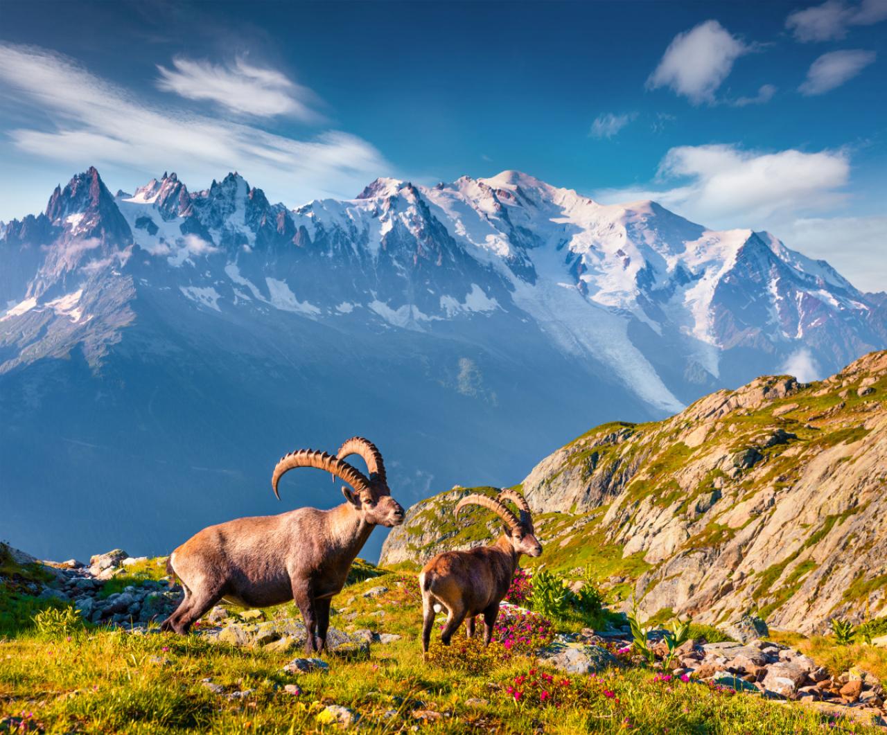
Alpine Ibex (Capra Ibex) on the Mont Blanc (Monte Bianco) background. Colorful summer morning in the Vallon de Berard Nature Preserve, Graian Alps, France, Europe.
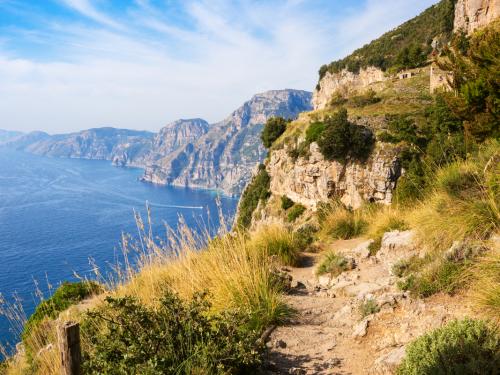
41/77
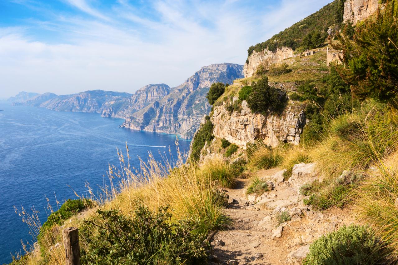
The hiking trail Sentiero degli Dei ( Path of the Gods) along the Amalfi Coast from Agerola to Nocelle, Province of Salerno, Campania, Italy.
42/77
Path of the Gods, amazing hike in the Amalfi Coast in italy
43/77
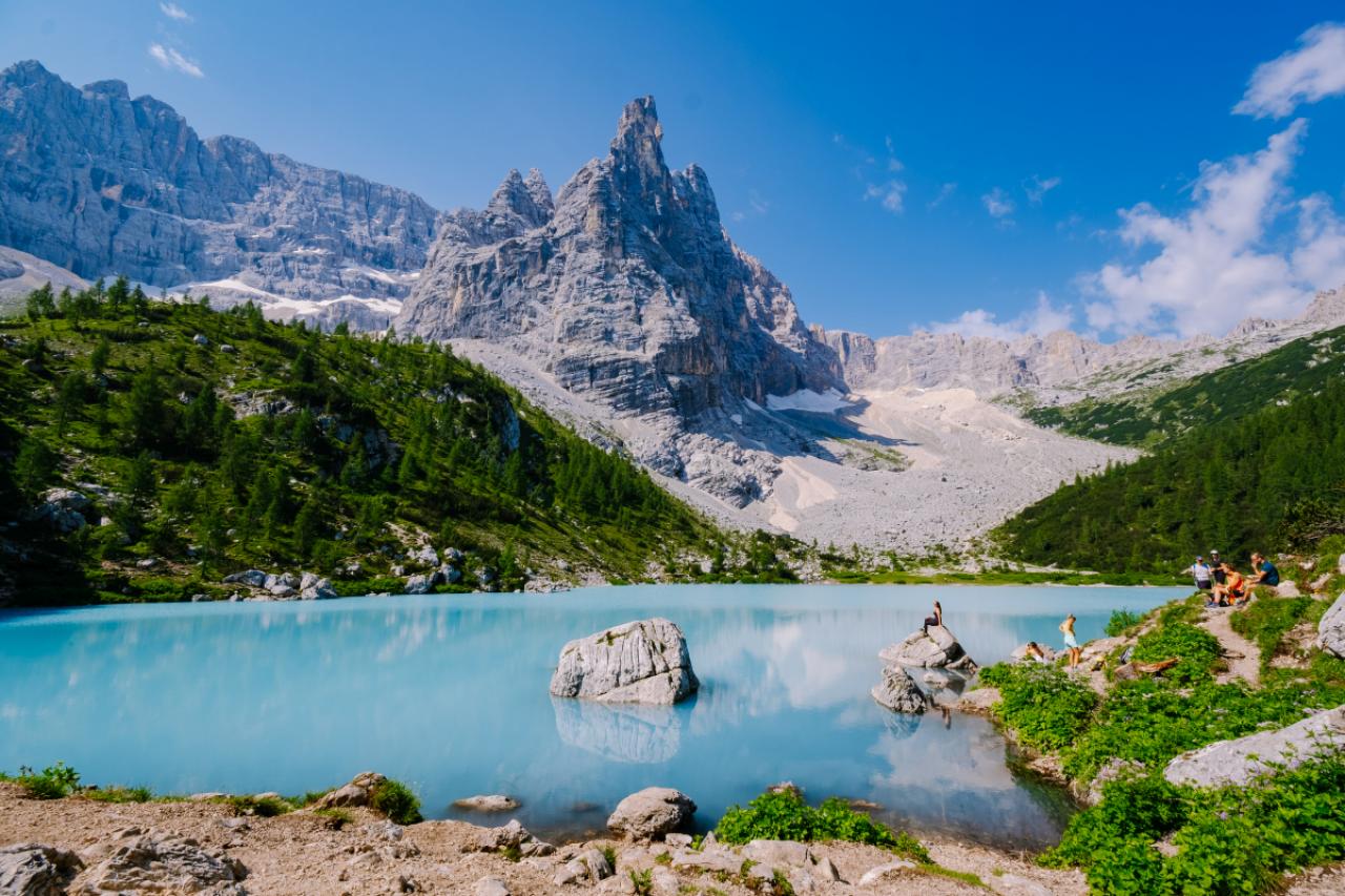
Le Lac Sorapis dans les Dolomites, en Italie.
© Getty images
44/77
CORTINA DAMPEZZO, VENETO, ITALY – 2021/10/29: The rock formations Cadini di Misurina and Tre Cime di Lavaredo, seen from Lake Sorapiss, surrounded by colorful larches and pine trees in autumn. (Photo by Frank Bienewald/LightRocket via Getty Images)
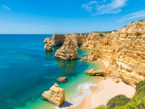
45/77
Algarve, Portugal
© Getty Images
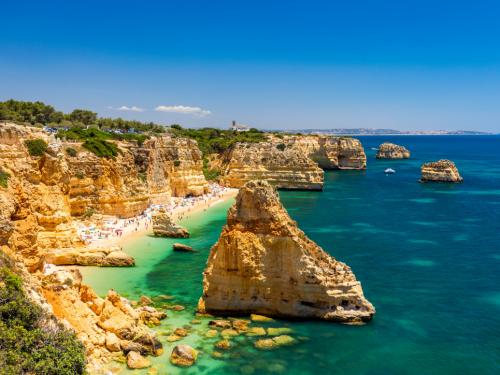
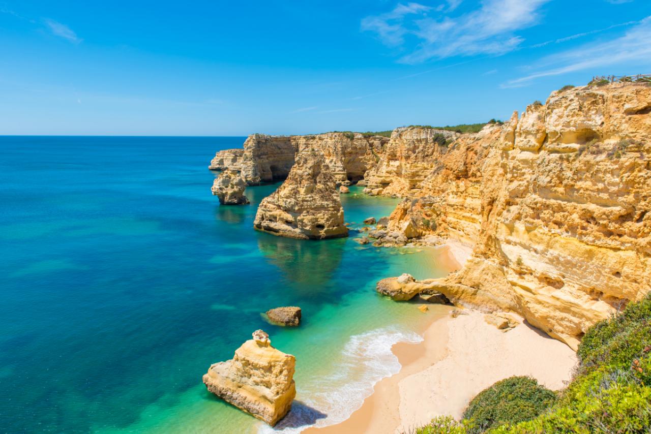
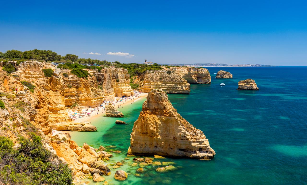
46/77
Praia da Marinha, beautiful beach Marinha in Algarve, Portugal. Navy Beach (Praia da Marinha), one of the most famous beaches of Portugal, located on the Atlantic coast in Lagoa Municipality, Algarve.
47/77
Taken on a very blustery and changeable morning. When the light broke it didn’t last long
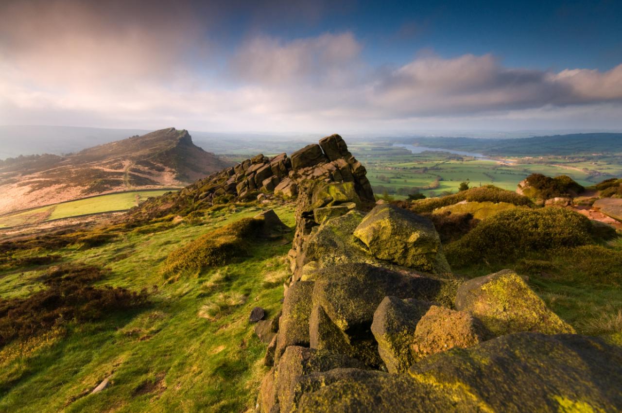
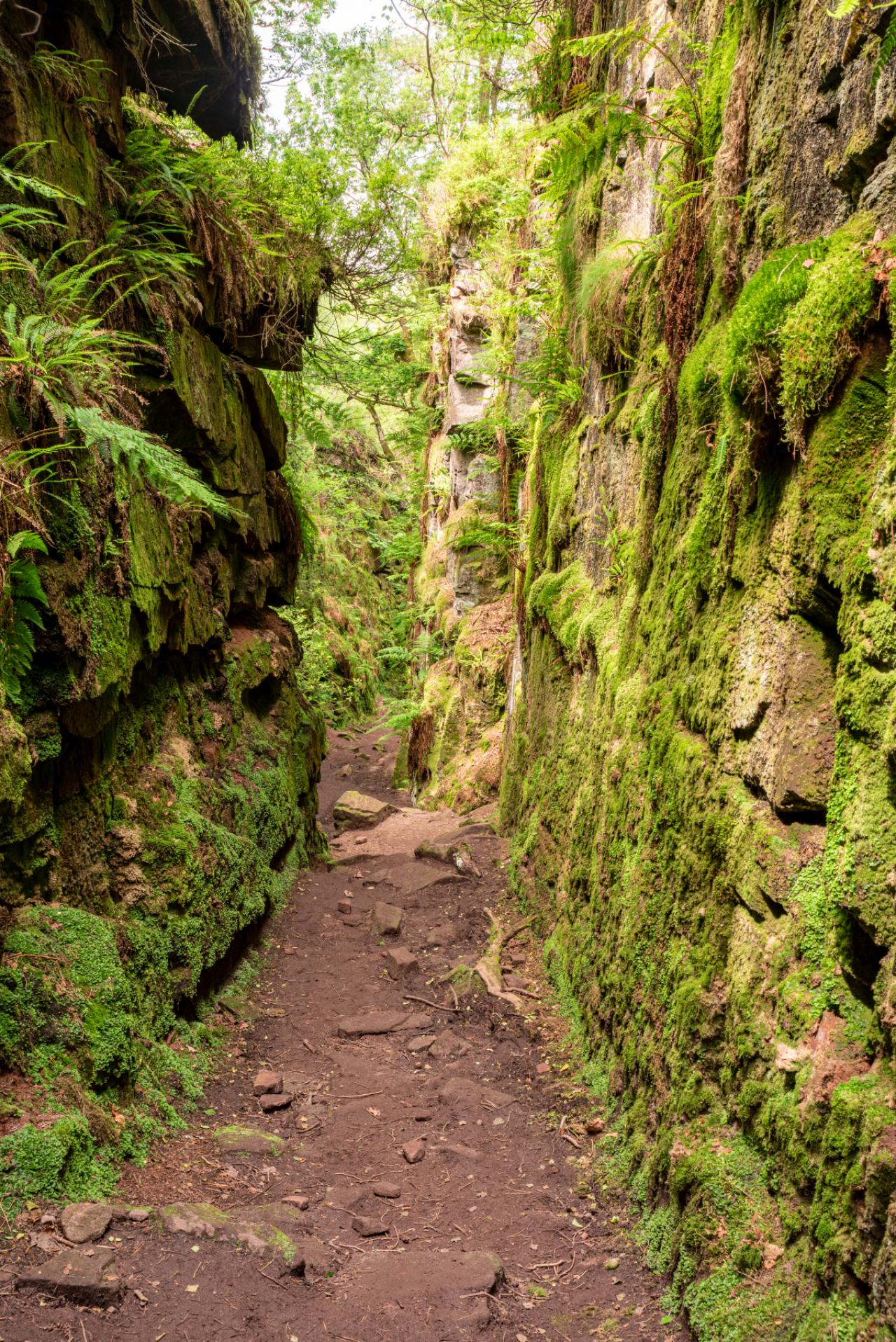
48/77
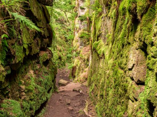
Lud’s Church chasm of the Sir Gawain and the Green Knight fame at The Roaches, in the Peak District National Park, UK.
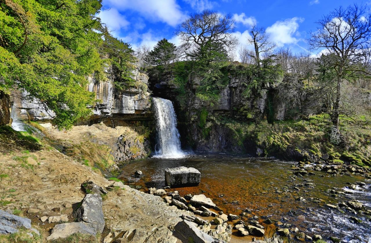
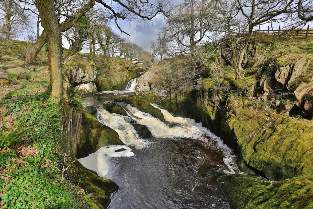
49/77
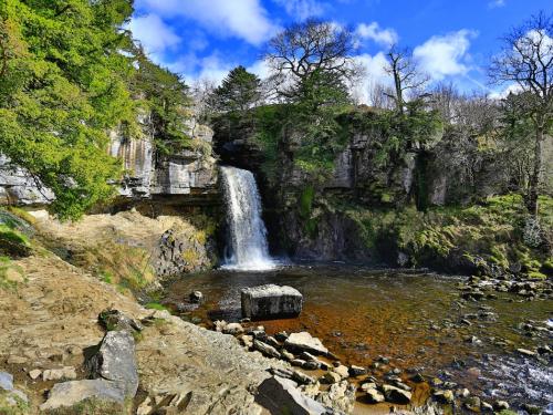
Inngleton waterfall trail,Yorkshire,england
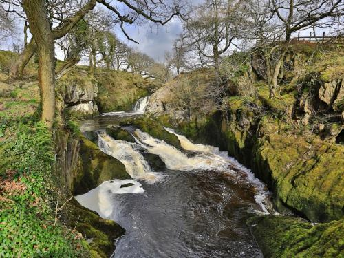
50/77
Ingleton waterfall trail, Yorkshire, England
51/77
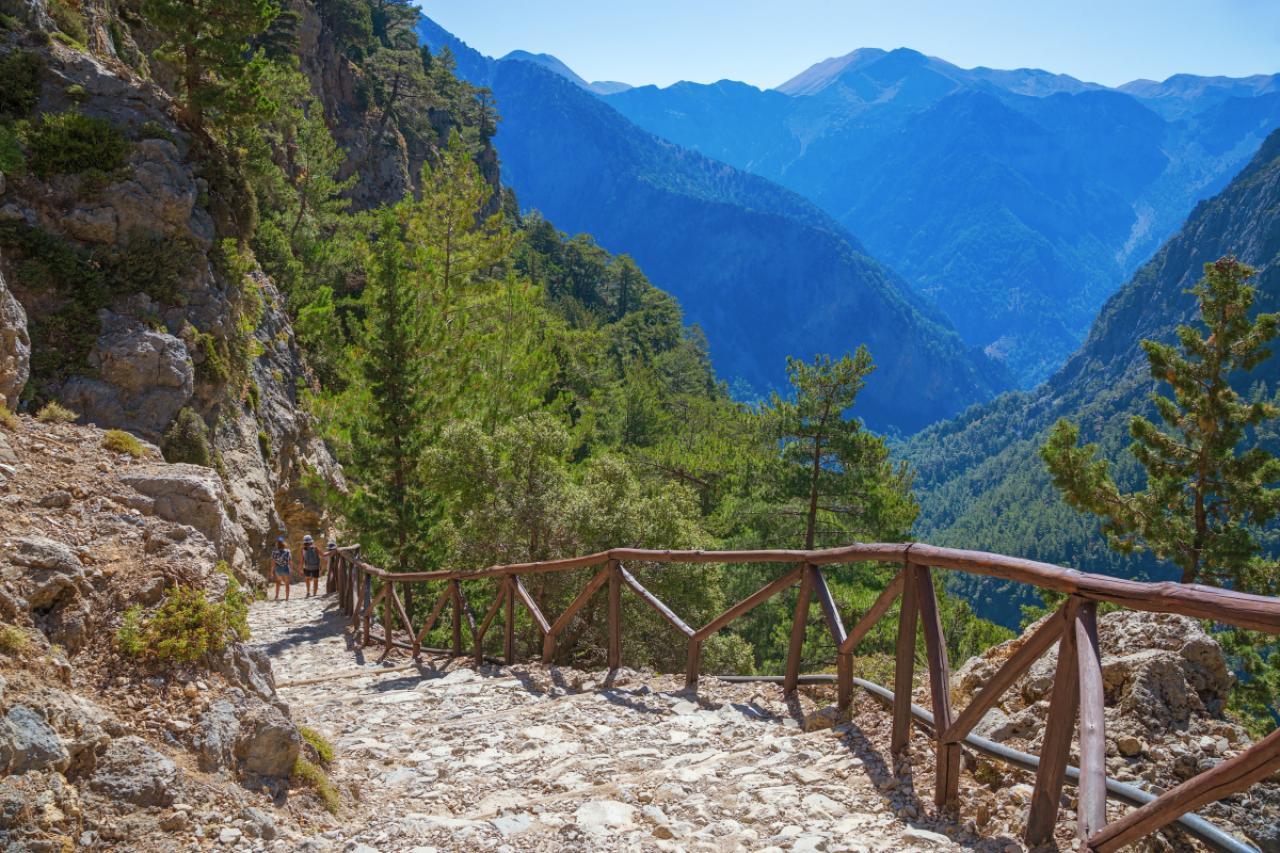
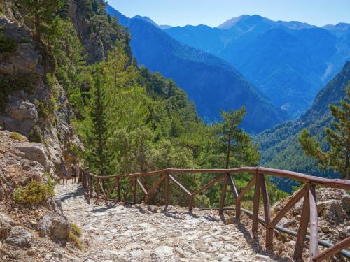
National Park of Samaria, Grecce, island Crete. Gorge Samaria. Magnificent view the top of the mountain. Forest path.
52/77
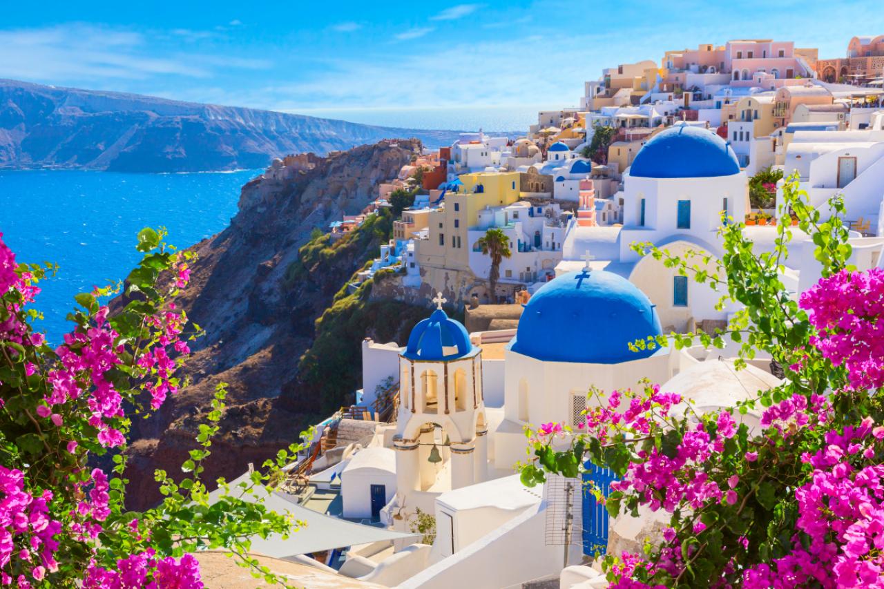
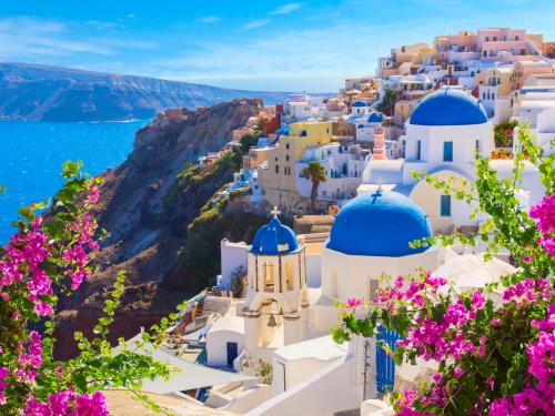
Santorini island, Greece. Oia town traditional white houses and churches with blue domes over the Caldera, Aegean sea.
53/77
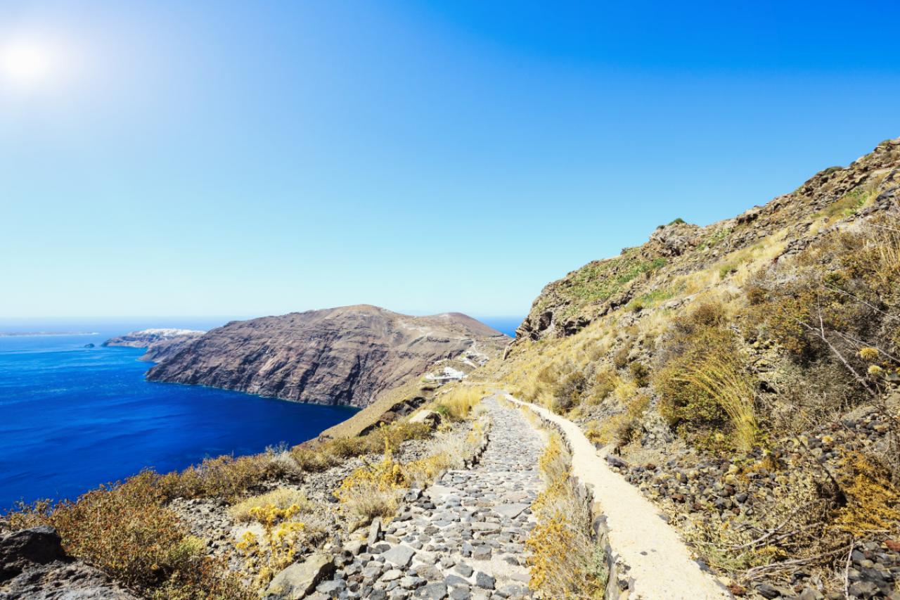
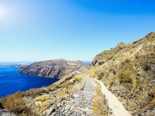
« Walkway Path from Fira to Oia along the beautiful Caldera Coastline of Santorini Island in the Mediterranean Sea. Santorini, Greece. »
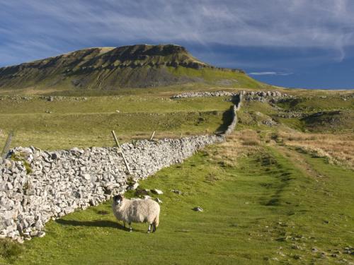
54/77
Pen Y Ghent hill , In The Yorkshire Dales , UK
55/77
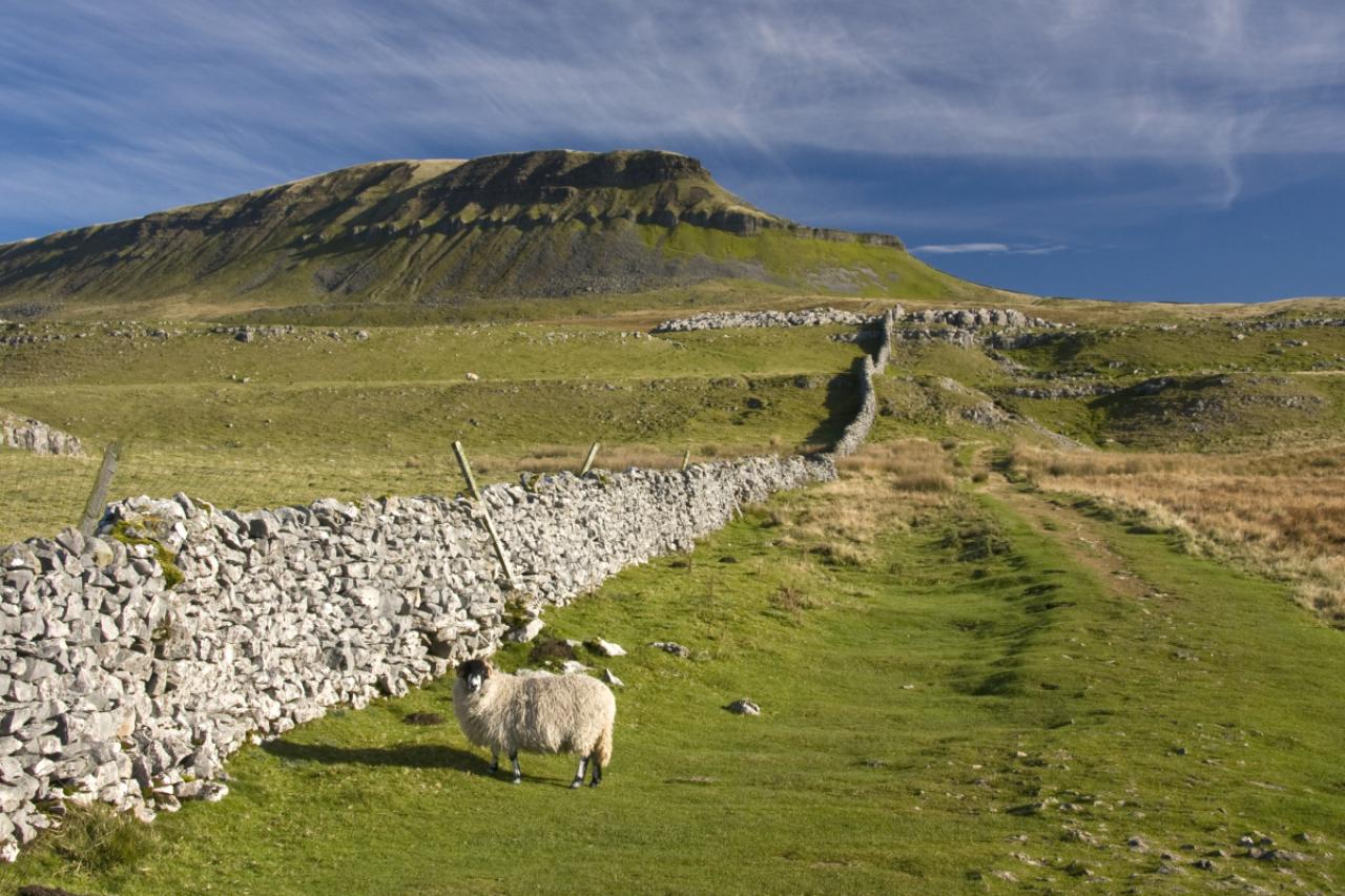
A dry stone wall zigzags across a green field containing a lone tree, with the mountain of Pen-y-Ghent rising in the background. Taken in the national park of the Yorkshire Dales.
56/77
57/77
58/77
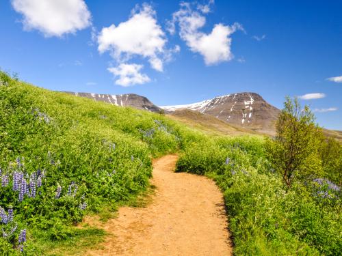
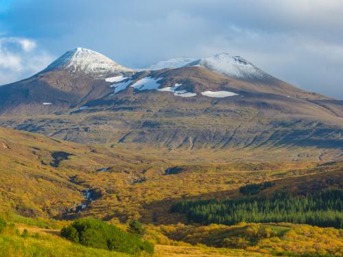
Stunning Icelandic summer landscape with a beautiful hiking trail in the Esja mountain range, 10 km north of Reykjavik, the capital of iceland. Sunny day and flourishing landscape. Southwest Iceland.
59/77
In Iceland.
60/77
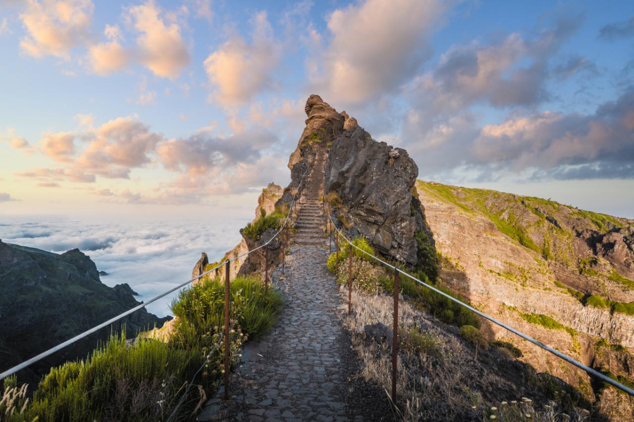
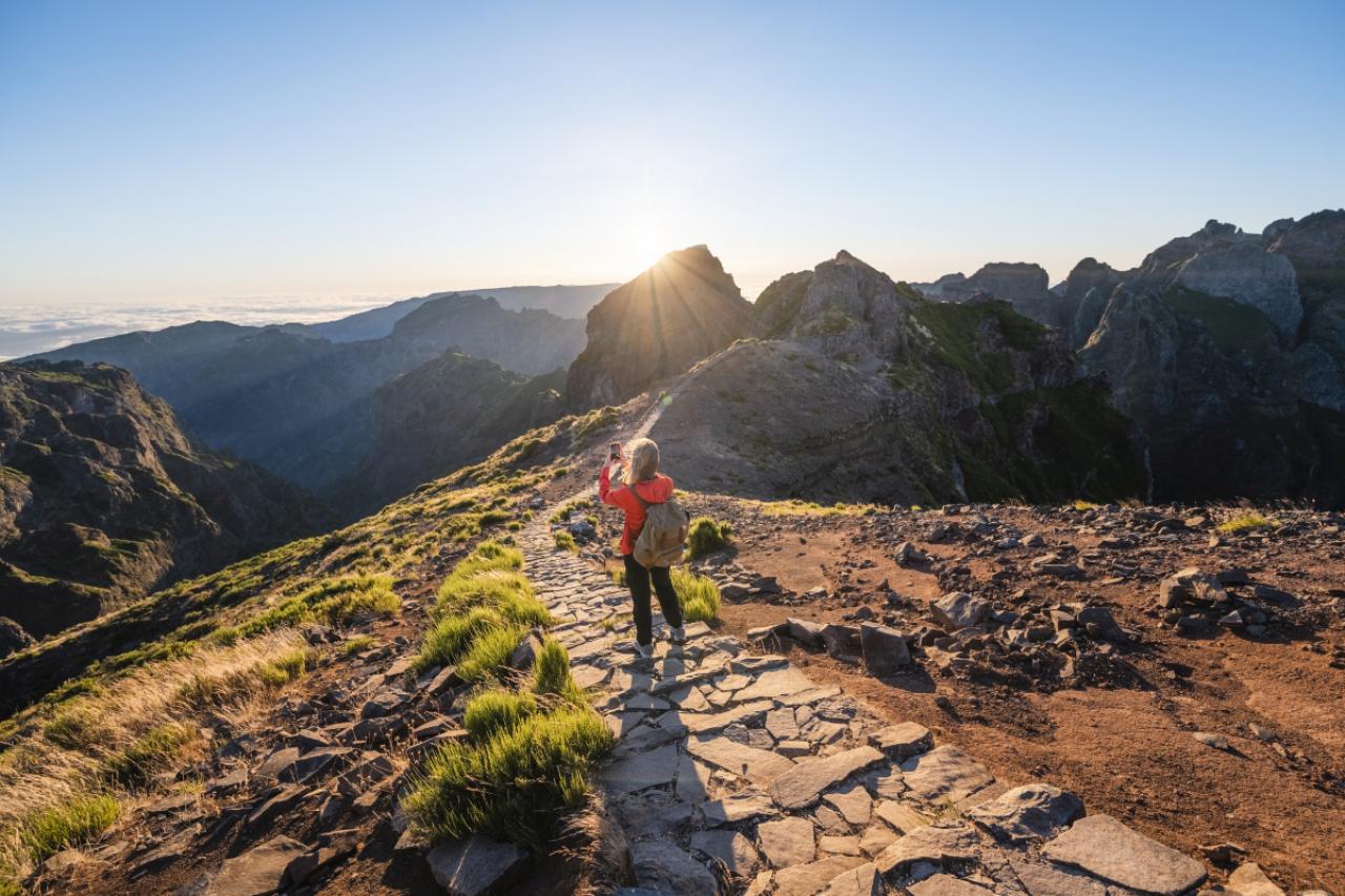
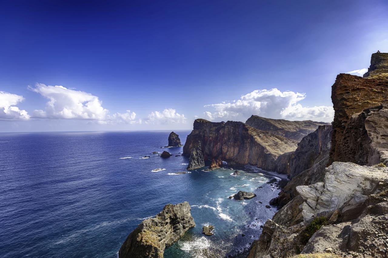
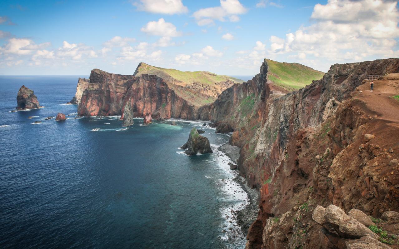
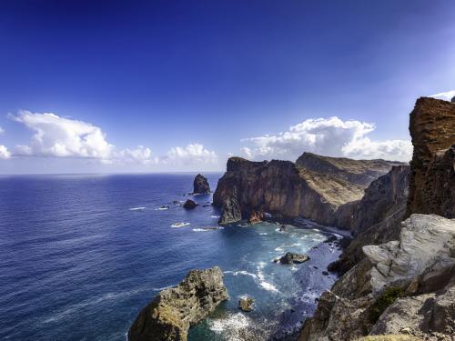
The peninsula located in the far east of the island of Madeira; Portugal
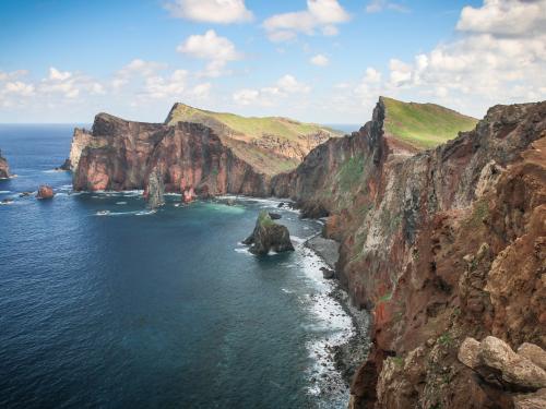
61/77
Cape of St. Lawrence on Madeira island, Portugal.
62/77
Amazing Church of St Martha-on-the-Hill Surrey Hills Area of Outstanding Natural Beauty Surrey England
63/77
64/77
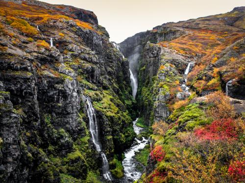
The tallest waterfall in Iceland
65/77
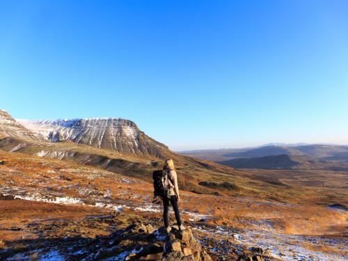
Landscape with some tall mountains and forests at the the rear end of the Hvalfjöoður and start of the hike to the waterfall Glymur, Western Iceland
66/77
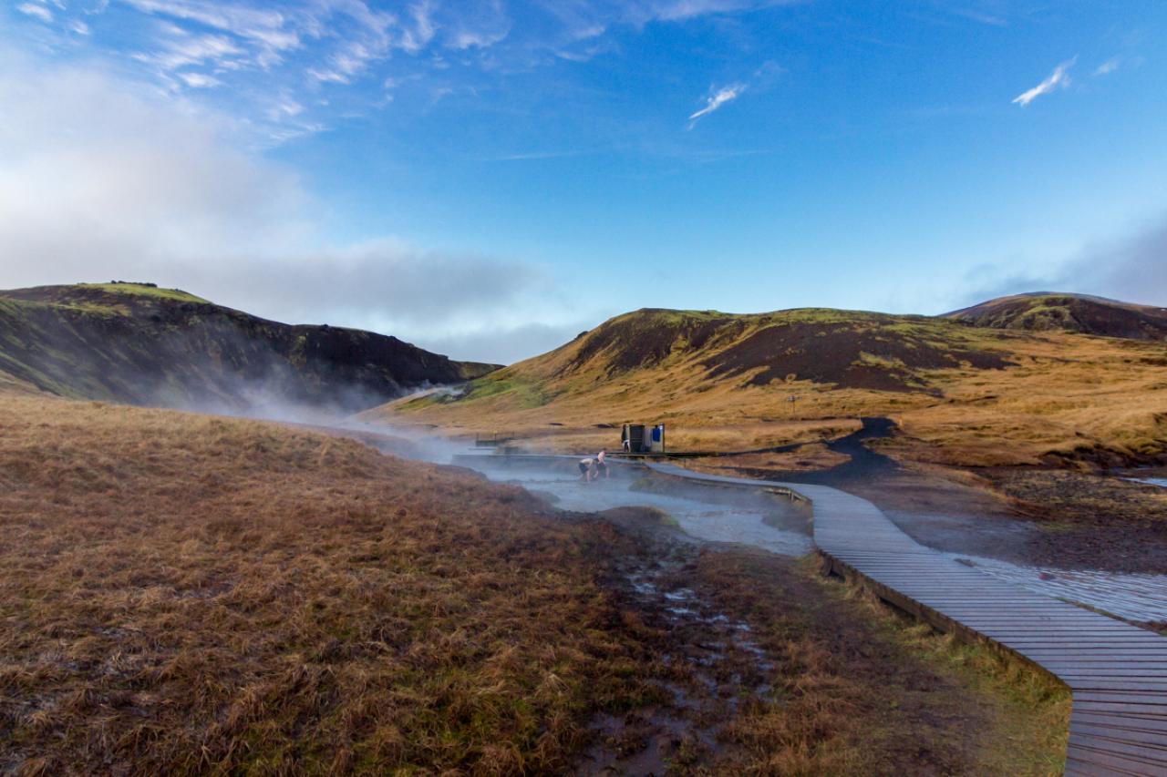
Reykjadalur hot spring thermal river (Iceland)

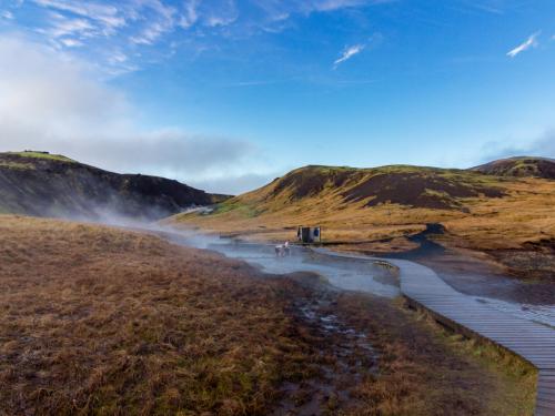
67/77
Hiking trail along Hot River in Reykjadalur Valley in South Iceland
68/77
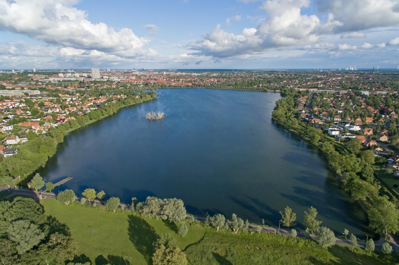
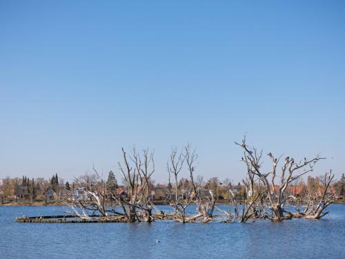
Aerial view of Damhus lake located in Zealand, Denmark
69/77
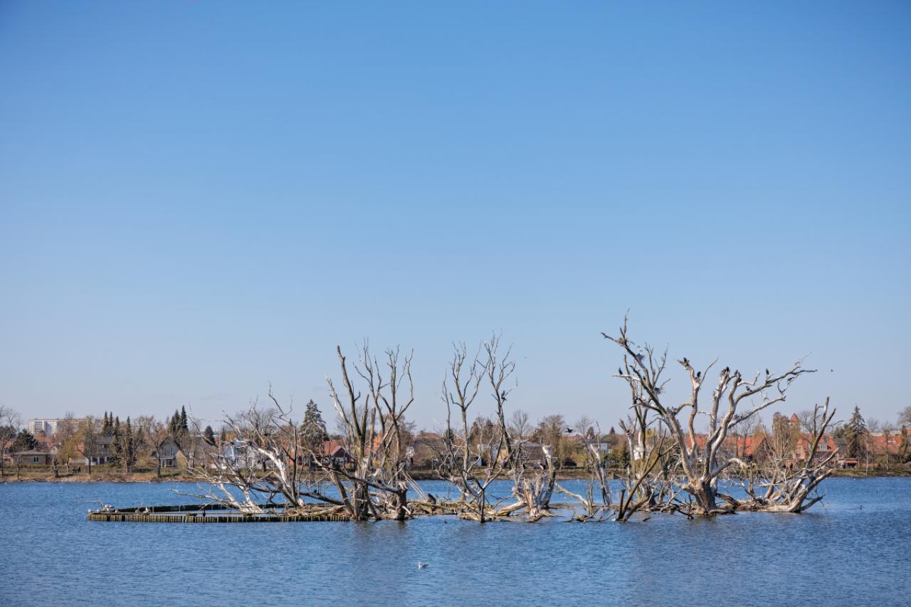
The cormorant (Phalacrocorax carbo) is today a very common bird in the public parks in Denmark, but in the late 1900s it was close to extinction. It is no a very popular bird, eating too many fish and killing the nest trees
70/77
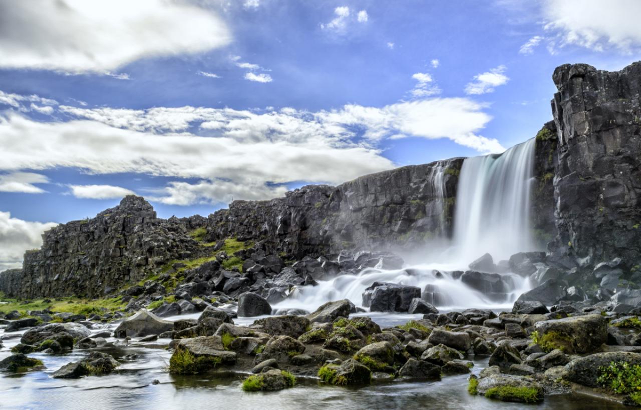
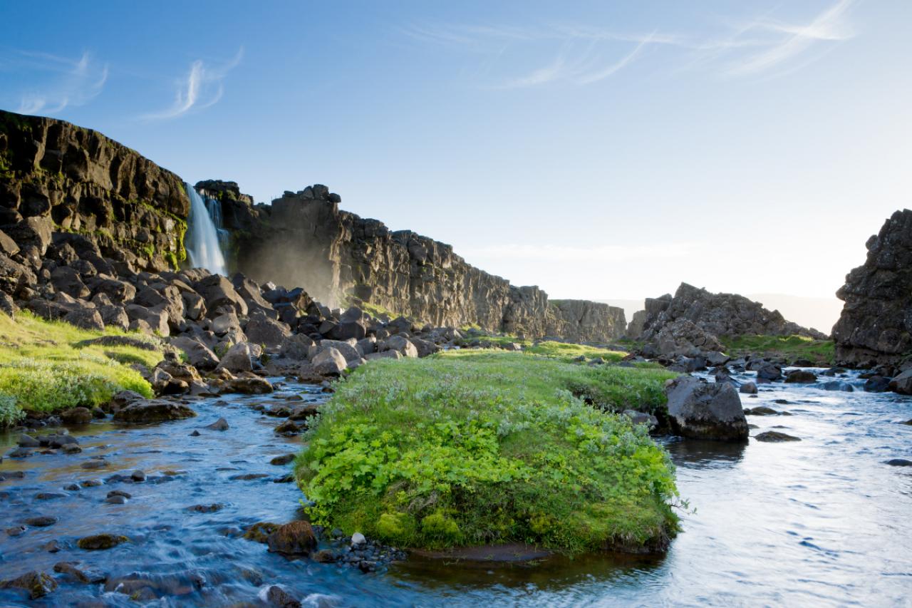
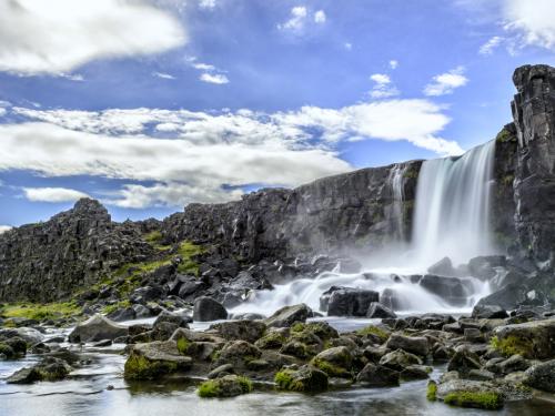
Oxararfoss waterfall in Thingvellir National Park, Iceland. The Oxarar river runs through the break line between two tectonic plates.
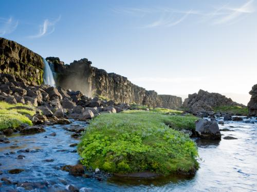
71/77
Öxarárfoss is a small waterfall in Thingvellir National Park, Iceland. It flows from the river Öxará.
72/77
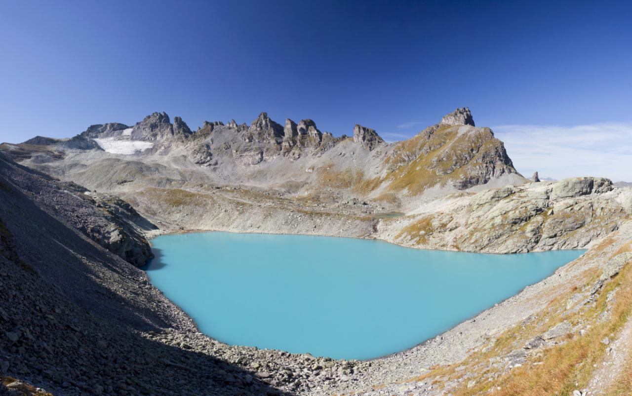
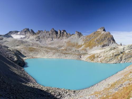
Blue Wildsee Lake at Pizol massif in Heidi-Land Bad Ragaz in the Swiss Alps, Switzerland, Europe
73/77
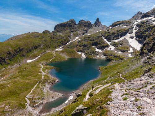
Aerial View of Schwarzsee (lake) near Pizol, on the hiking path of 5 lake hiking route, canton of St. Gallen, Switzerland
74/77
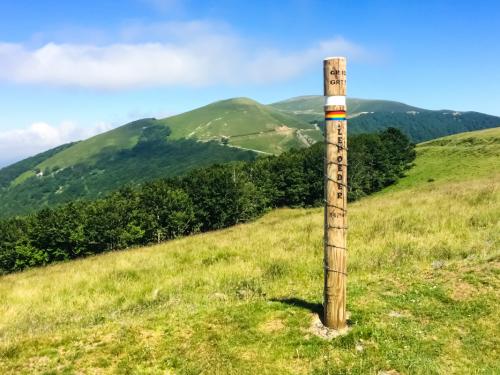
Sign of the Col de Lepoeder on the French way (Camino Frances). Pyrenees, Spain
75/77
Photo taken in Boadilla Del Camino, Spain
76/77
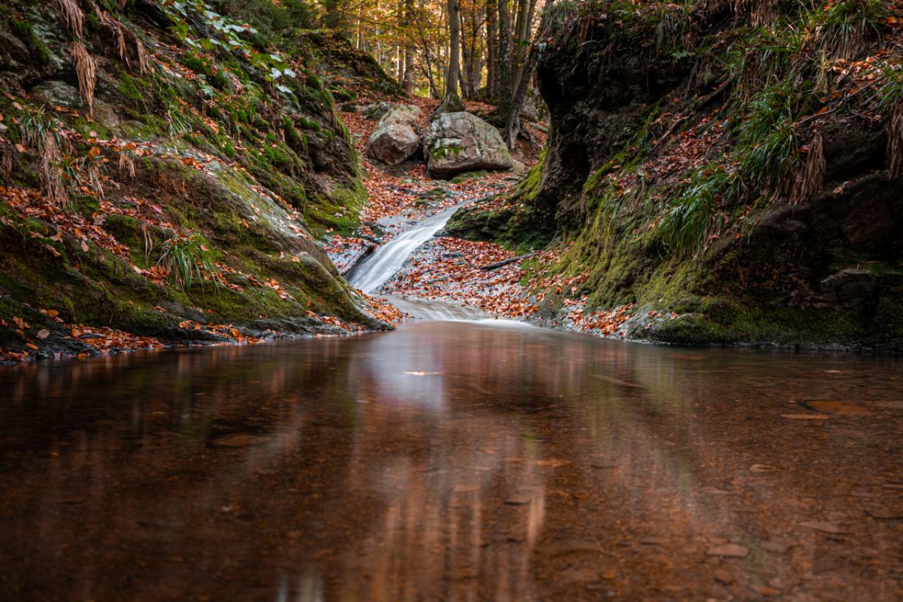
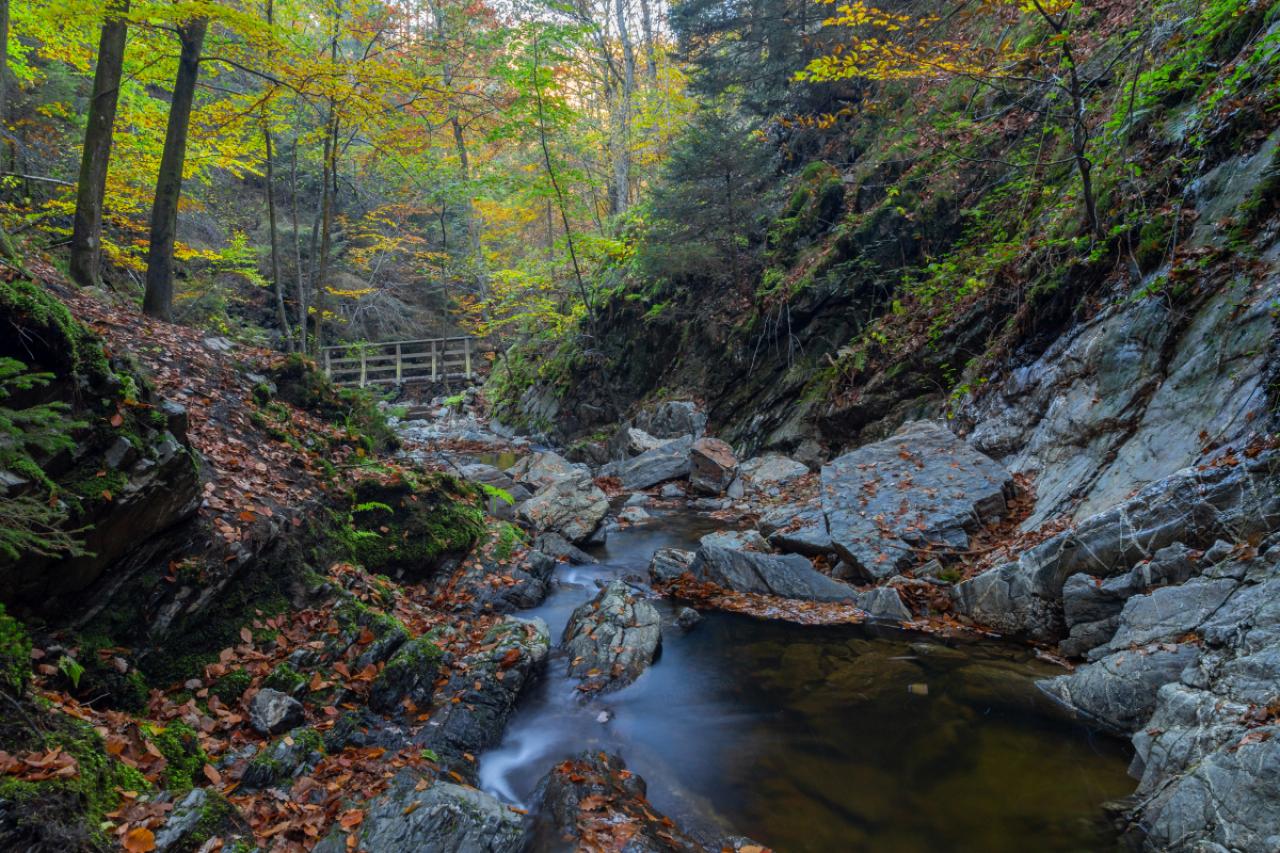
Ninglinspo
77/77
Autumn sunrise in the valley of Ninglinspo, which is classed as an outstanding heritage area of Wallonia. The stream forms rapids around enormous blocks, forming a series of pools with evocative names
1/77
Cinque Terre, La Spezia, Ligurië
2/77
3/77
Cahors (south of France): The Valentre Bridge across the Lot river. Listed as a National Historic Landmark (French ‘Monument historique’) and UNESCO World Heritage Site. Medieval fortified stone arch bridge, stopping-off point of the Way of St. James (Santiago de Compostella), pilgrimage route via Podiensis or route du Puy, hiking trail GR65. (Photo by: Morel J/Andia/Universal Images Group via Getty Images)
4/77
The village of Conques (south of France), in the Aveyron department, on the Way of St James (Santiago de Compostela), voie du Puy or via Podiensis pilgrimage route, France. The Abbey Church of Sainte-Foy is registered as a UNESCO World Heritage Site, Route of Santiago de Compostela in France. (Photo by: Morel J/Andia/Universal Images Group via Getty Images)
5/77
AURONZO DI CADORE, VENETO, ITALY – 2021/07/21: Two black horses are standing on a rocky hill, the south faces of the mountain group Tre Cime di Lavaredo in the distance. (Photo by Frank Bienewald/LightRocket via Getty Images)
6/77
AURONZO DI CADORE, VENETO, ITALY – 2020/07/22: Panoramic aerial view on the mountain group Tre Cime di Lavaredo, with the mountain hut Dreizinnenhütte, Rifugio Locatelli and a small chapel. (Photo by Frank Bienewald/LightRocket via Getty Images)
© Getty
7/77
Preikestolen massive cliff (Norway, Lysefjorden summer morning view)
8/77
Weimaraner dog looking at view near Preikestolen or Prekestolen, also known by the English translations of Preacher’s Pulpit or Pulpit Rock, is a famous tourist attraction in Forsand, Ryfylke, Norway
9/77
Aerial view on the Skogafoss waterfall in Iceland. Landscape from air. Famous place in Iceland. Travel – image
10/77
Blue Sky, Famous Place, Waterfall, Iceland
11/77
Gullfoss waterfall in the canyon of the mountains. Tourist Attraction Iceland. Beauty in nature
12/77
Iconic view of the Gullfoss waterfall in Iceland
13/77
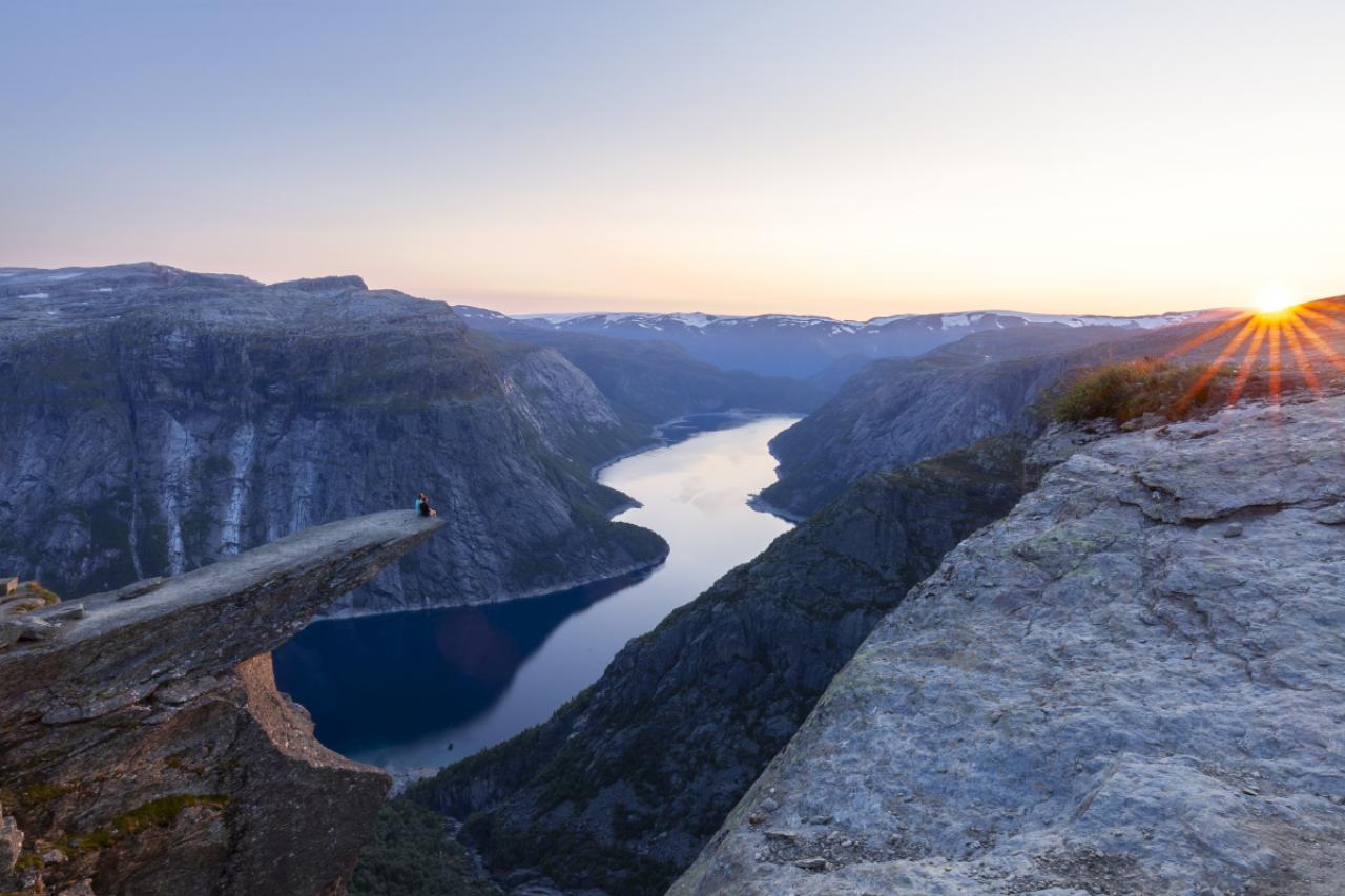
« Trolltunga, Troll’s tongue rock above lake Ringedalsvatnet, Norway »
14/77
Sunset on the Norwegian fjord Trolltunga. Couple hiker sitting on a cliff above a lake, Trolltunga, Norway Concept of adventure, freedom and extreme lifestyle
15/77
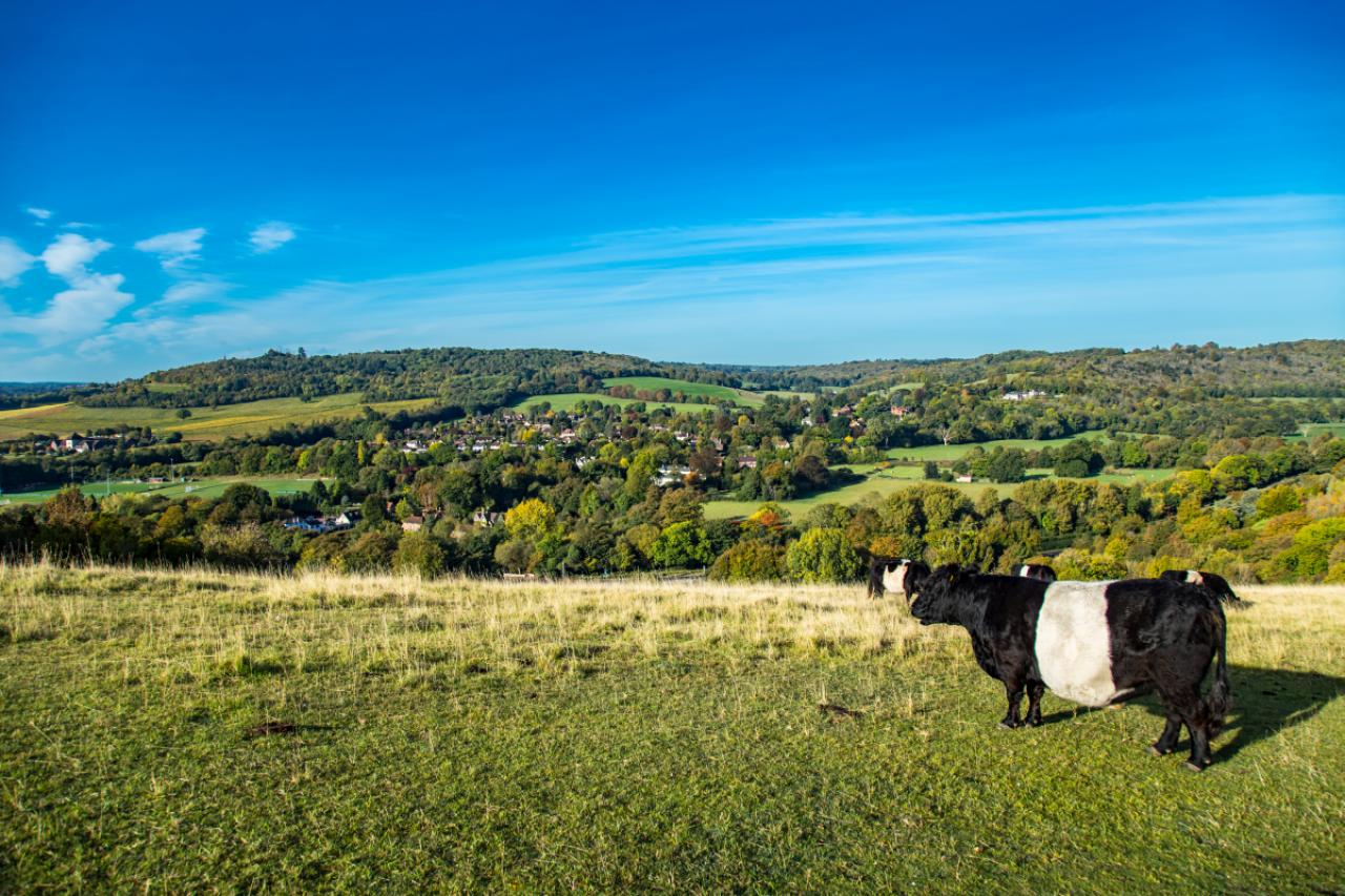
Traditional English field cows farm lovely sunny day Surrey England
16/77
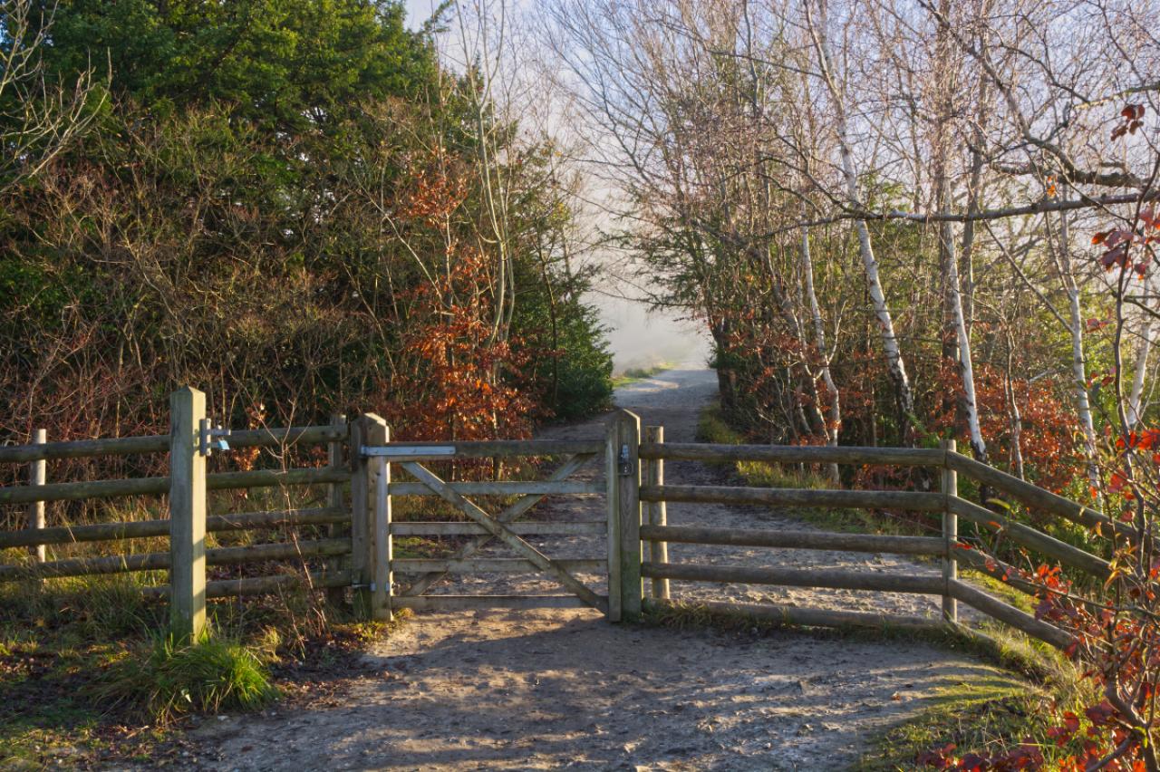
Path and gate on Box Hill at Dorking, Surrey, England
17/77
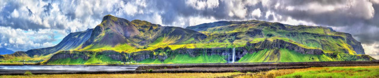
Panorama of volcanic massif Eyjafjoll with Seljalandsfoss and Gljufrafoss waterfalls – South Iceland
18/77
Beautiful Seljalandsfoss waterfall at dusk. Located in the south of Iceland
19/77
Waterfall and a wooden bridge in the forest in Solwaster, Belgium. Autumn colors, long exposure, nobody
20/77
La Statte (creek) at Solwaster (Belgium)
21/77
The Calanques massif, which is located between Marseille and Cassis. Calanque de Port Miou near Cassis Fishing Village. Calanques National Park. Provence, French Riviera, France, Europe
22/77
The Calanques are a series of deep, steep-sided inlets of the Mediterranean lying between Marseille and Cassis in the Bouches-du-Rhone departement. Accessible only by boat or on foot, they are popular with walkers, swimmers and sailing enthusiasts.
23/77
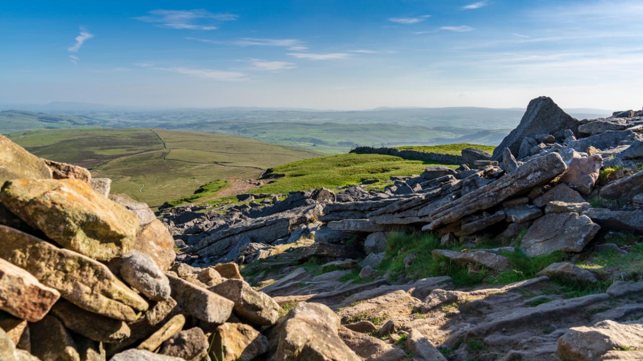
Hope valley on a beautiful misty morning in September 2020 with gritstone rocks and old tree branch in the foreground, Taken at sunrise in the Derbyshire Peak District National park. Castleton, Hope Valley, UK.
24/77
Iconic shot of Castleton, Peak District, Derbyshire, England. Photograph taken early morning on the bridge over Peakshole Water
25/77
26/77
View over the Yorkshire Dales landscape from the Pen-Y-Ghent between Halton Gill and Horton in Ribblesdale, North Yorkshire, England, UK
27/77
Yorkshire Dales landscape at the Gordale Scar near Malham, North Yorkshire, England, UK
28/77
Janet’s Foss is a small waterfall in the vicinity of the village of Malham in the Yorkshire Dales National Park Yorkshire. It carries Gordale Beck, a river, over a limestone outcrop topped by tufa into a deep plunge pool below. The pool was traditionally used for sheep dipping, an event which took on a carnival air and drew the village inhabitants for the social occasion.
29/77
A man and girl walk their dog on a rough track above Kinder reservoir near Hayfield in the Peak District, Derbyshire. A sunny spring day with views to Kinder Scout beneath a sky of fluffy clouds.
30/77
Rocks on the North side of Kinder Scout mountain with a stunning sunrise. English Peak District National park. UK.
31/77
Panoramic landscape view of colorful rainbow volcanic Landmannalaugar mountains, volcanoes, lava fields, crater, water streams and lagoons at blue sky with clouds, Iceland, summer
32/77
Panoramic view of colorful rhyolite volcanic mountains Landmannalaugar as pure wilderness in Iceland and a hidden highland lake, Iceland, summer time
33/77
34/77
35/77
View of the basalt rocks formation on the coastline with the beautiful houses and the Mountain Stapafell in the background at Arnarstapi Village in summer sunny day in Iceland
36/77
Long exposure of Gatklettur arch rock near Hellnar ,Snaefellsnes Peninsula ,Iceland.
37/77
A panorama of Dove Stone Reservoir taken using the new panorama feature and an iPhone 5. Taken just before sunset, the warm light of the sun bathes the surrounding hills in a golden glow. The sky is a deep blue with orange clouds which are both reflected in the water of the reservoir.
38/77
Gritstone outcrops in the hills above Dove Stone and Yeoman Hey reservoirs in the north of the Peak District national park, England.
39/77
A hiker walking on a path during the famous trek Tour du Mont Blanc. Beautiful Alpine view on snowy mountains with blue sky on a sunny morning
40/77
Alpine Ibex (Capra Ibex) on the Mont Blanc (Monte Bianco) background. Colorful summer morning in the Vallon de Berard Nature Preserve, Graian Alps, France, Europe.
41/77
The hiking trail Sentiero degli Dei ( Path of the Gods) along the Amalfi Coast from Agerola to Nocelle, Province of Salerno, Campania, Italy.
42/77
Path of the Gods, amazing hike in the Amalfi Coast in italy
43/77
Le Lac Sorapis dans les Dolomites, en Italie.
© Getty images
44/77
CORTINA DAMPEZZO, VENETO, ITALY – 2021/10/29: The rock formations Cadini di Misurina and Tre Cime di Lavaredo, seen from Lake Sorapiss, surrounded by colorful larches and pine trees in autumn. (Photo by Frank Bienewald/LightRocket via Getty Images)
45/77
Algarve, Portugal
© Getty Images
46/77
Praia da Marinha, beautiful beach Marinha in Algarve, Portugal. Navy Beach (Praia da Marinha), one of the most famous beaches of Portugal, located on the Atlantic coast in Lagoa Municipality, Algarve.
47/77
Taken on a very blustery and changeable morning. When the light broke it didn’t last long
48/77
Lud’s Church chasm of the Sir Gawain and the Green Knight fame at The Roaches, in the Peak District National Park, UK.
49/77
Inngleton waterfall trail,Yorkshire,england
50/77
Ingleton waterfall trail, Yorkshire, England
51/77
National Park of Samaria, Grecce, island Crete. Gorge Samaria. Magnificent view the top of the mountain. Forest path.
52/77
Santorini island, Greece. Oia town traditional white houses and churches with blue domes over the Caldera, Aegean sea.
53/77
« Walkway Path from Fira to Oia along the beautiful Caldera Coastline of Santorini Island in the Mediterranean Sea. Santorini, Greece. »
54/77
Pen Y Ghent hill , In The Yorkshire Dales , UK
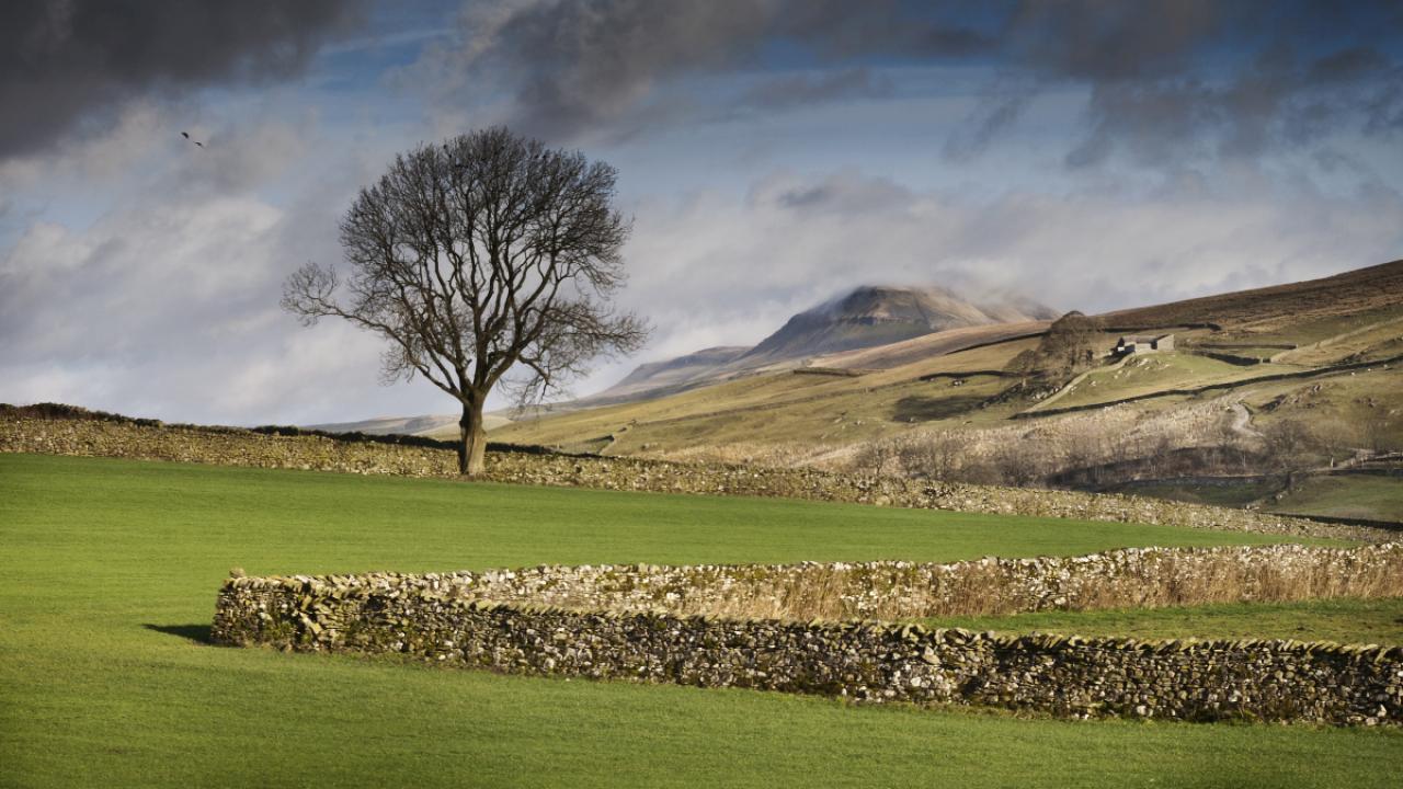
55/77
A dry stone wall zigzags across a green field containing a lone tree, with the mountain of Pen-y-Ghent rising in the background. Taken in the national park of the Yorkshire Dales.
56/77
57/77
58/77
Stunning Icelandic summer landscape with a beautiful hiking trail in the Esja mountain range, 10 km north of Reykjavik, the capital of iceland. Sunny day and flourishing landscape. Southwest Iceland.
59/77
In Iceland.
60/77
The peninsula located in the far east of the island of Madeira; Portugal
61/77
Cape of St. Lawrence on Madeira island, Portugal.
62/77
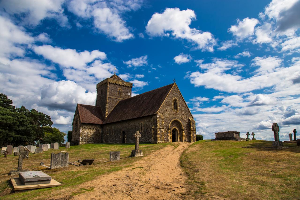
Amazing Church of St Martha-on-the-Hill Surrey Hills Area of Outstanding Natural Beauty Surrey England
63/77
64/77
The tallest waterfall in Iceland
65/77
Landscape with some tall mountains and forests at the the rear end of the Hvalfjöoður and start of the hike to the waterfall Glymur, Western Iceland
66/77
Reykjadalur hot spring thermal river (Iceland)
67/77
Hiking trail along Hot River in Reykjadalur Valley in South Iceland
68/77
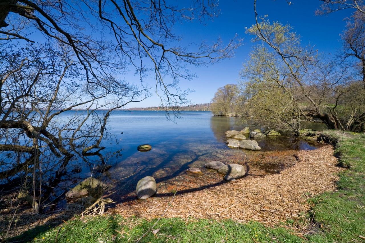
Aerial view of Damhus lake located in Zealand, Denmark
69/77
The cormorant (Phalacrocorax carbo) is today a very common bird in the public parks in Denmark, but in the late 1900s it was close to extinction. It is no a very popular bird, eating too many fish and killing the nest trees
70/77
Oxararfoss waterfall in Thingvellir National Park, Iceland. The Oxarar river runs through the break line between two tectonic plates.
71/77
Öxarárfoss is a small waterfall in Thingvellir National Park, Iceland. It flows from the river Öxará.
72/77
Blue Wildsee Lake at Pizol massif in Heidi-Land Bad Ragaz in the Swiss Alps, Switzerland, Europe
73/77
Aerial View of Schwarzsee (lake) near Pizol, on the hiking path of 5 lake hiking route, canton of St. Gallen, Switzerland
74/77
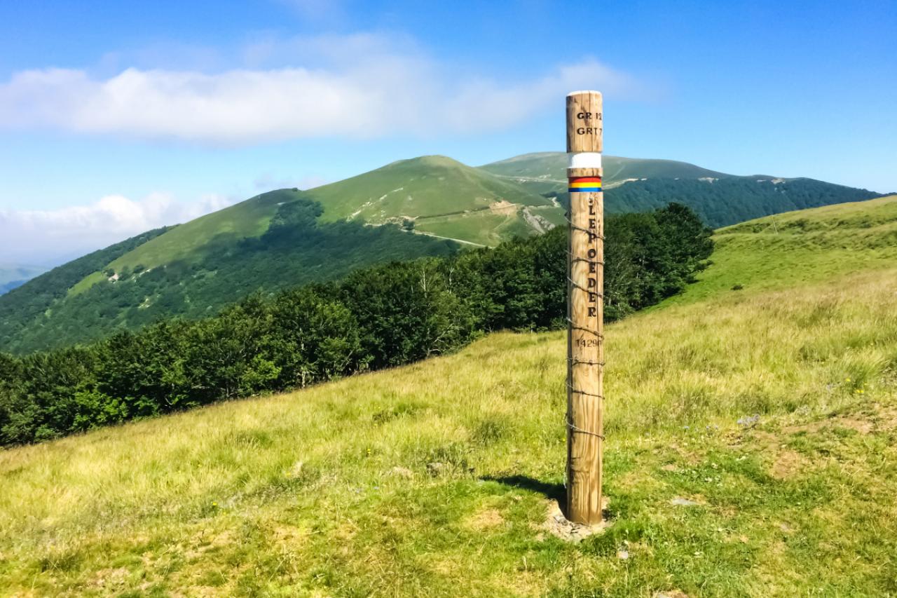
Sign of the Col de Lepoeder on the French way (Camino Frances). Pyrenees, Spain
75/77
Photo taken in Boadilla Del Camino, Spain
76/77
Ninglinspo
77/77
Autumn sunrise in the valley of Ninglinspo, which is classed as an outstanding heritage area of Wallonia. The stream forms rapids around enormous blocks, forming a series of pools with evocative names